Barron Lake & Greenleaf Loop
June 13, 2026

Our intended route for this trip was to make our way down the 7500m cart trail to the start of the portage to Barron Lake. After reaching the lake we planned to bushwhack around the lake to get on the 1570m portage to Greenleaf Lake.
From there we would bushwhack back to the hydro line roughly following an old portage that used to go from Carcajou Lake to the ranger cabin on Greenleaf. Reaching the hydro line we would complete the loop by following the trail back to where we started in toward Barron. The last part of the trip would take us back over the hills to where we set off early in the morning.
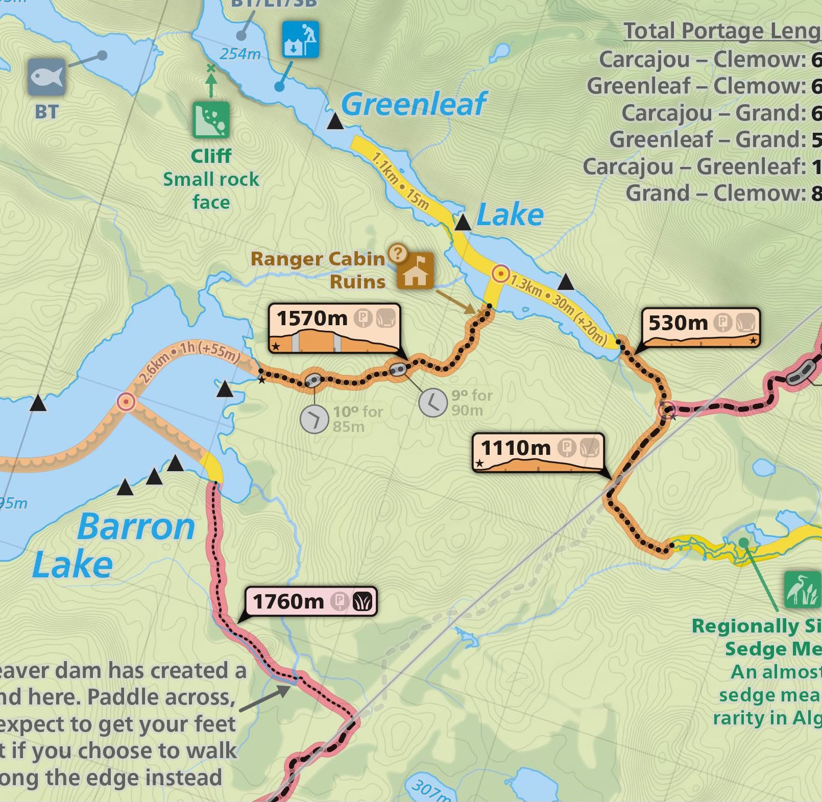
Map courtesy of Maps by Jeff.
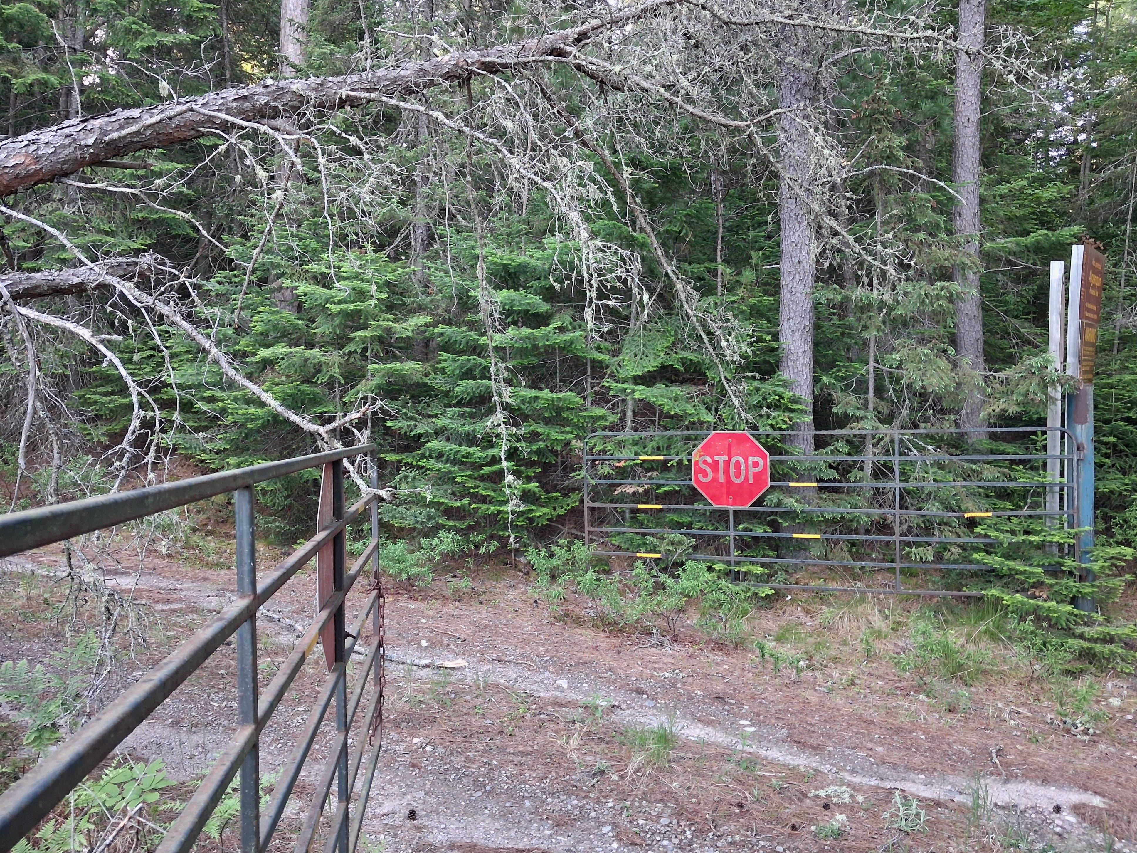
This access point is not widely used. We parked the truck nearby. The sign indicates only authorized vehicles are permitted beyond the gate. However, until the road is cleared no vehicles will be using it since there are two trees down across the road a short distance in from the gate.
Setting out involves a short walk along Batise Creek.
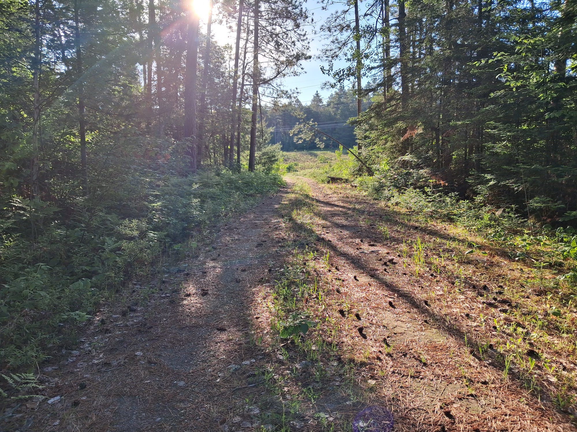
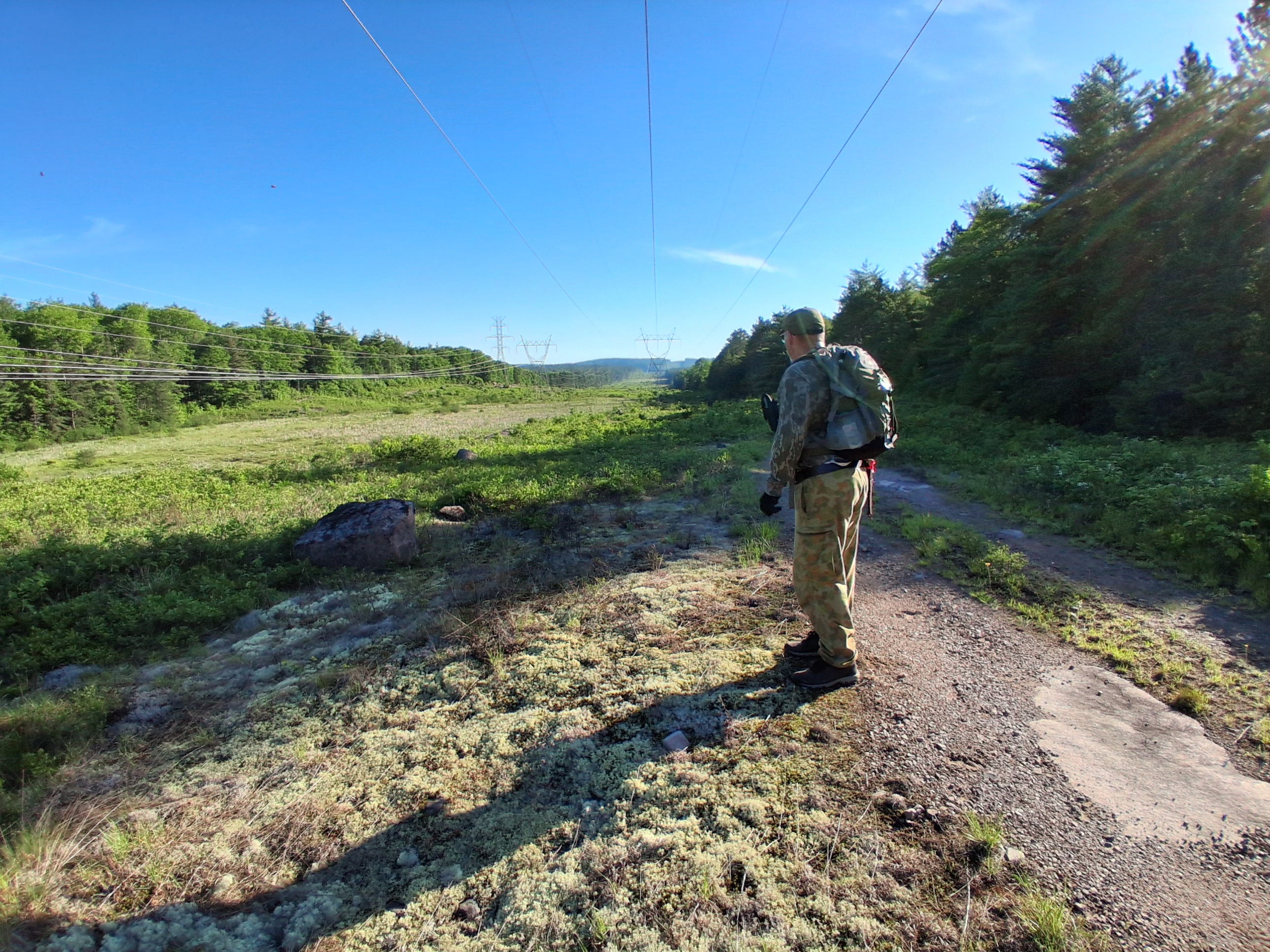
It is a short distance out to the hydro line field.
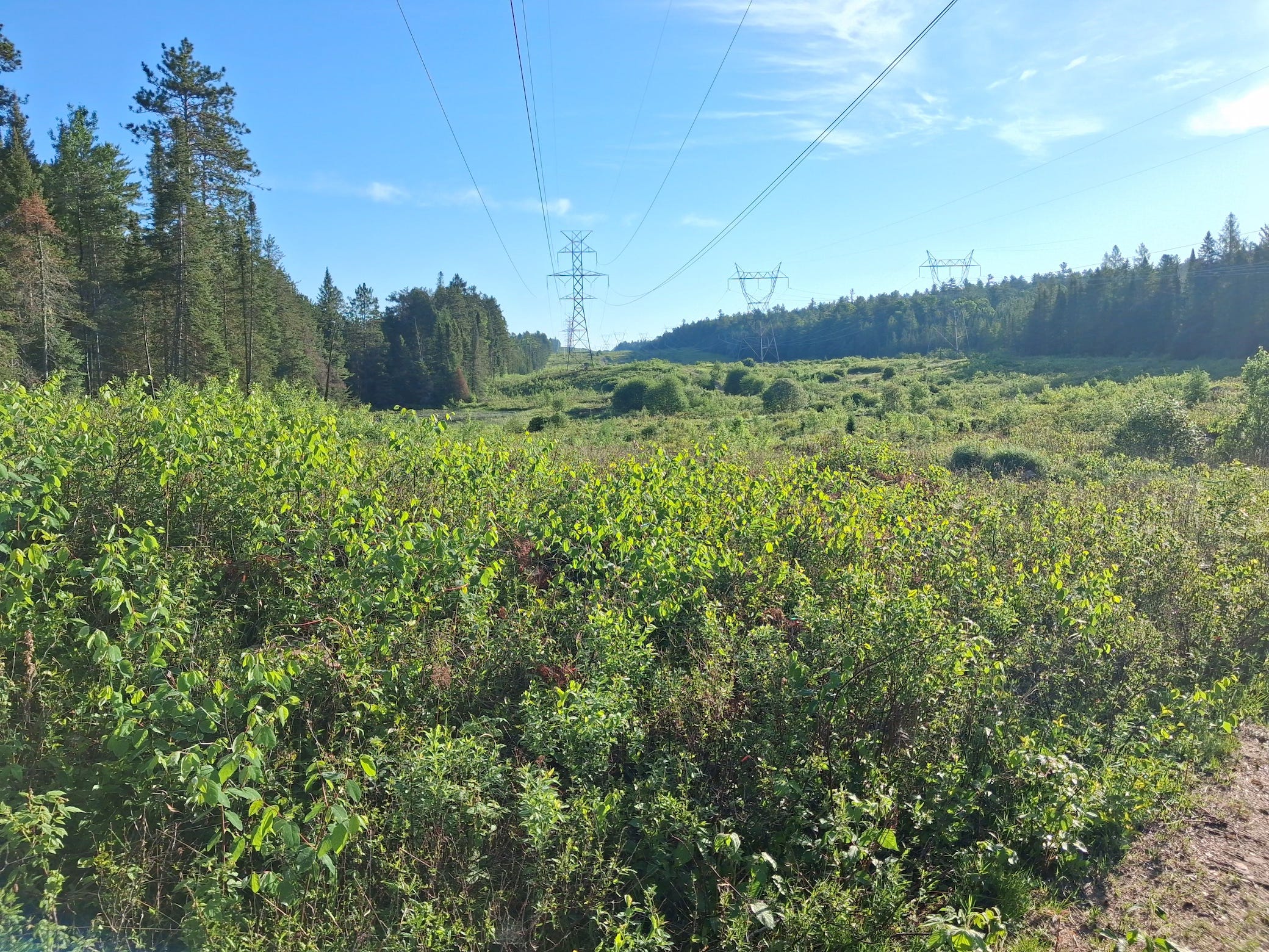
Entering the field you get your first sense of the distance to be travelled and the hilly terrain.
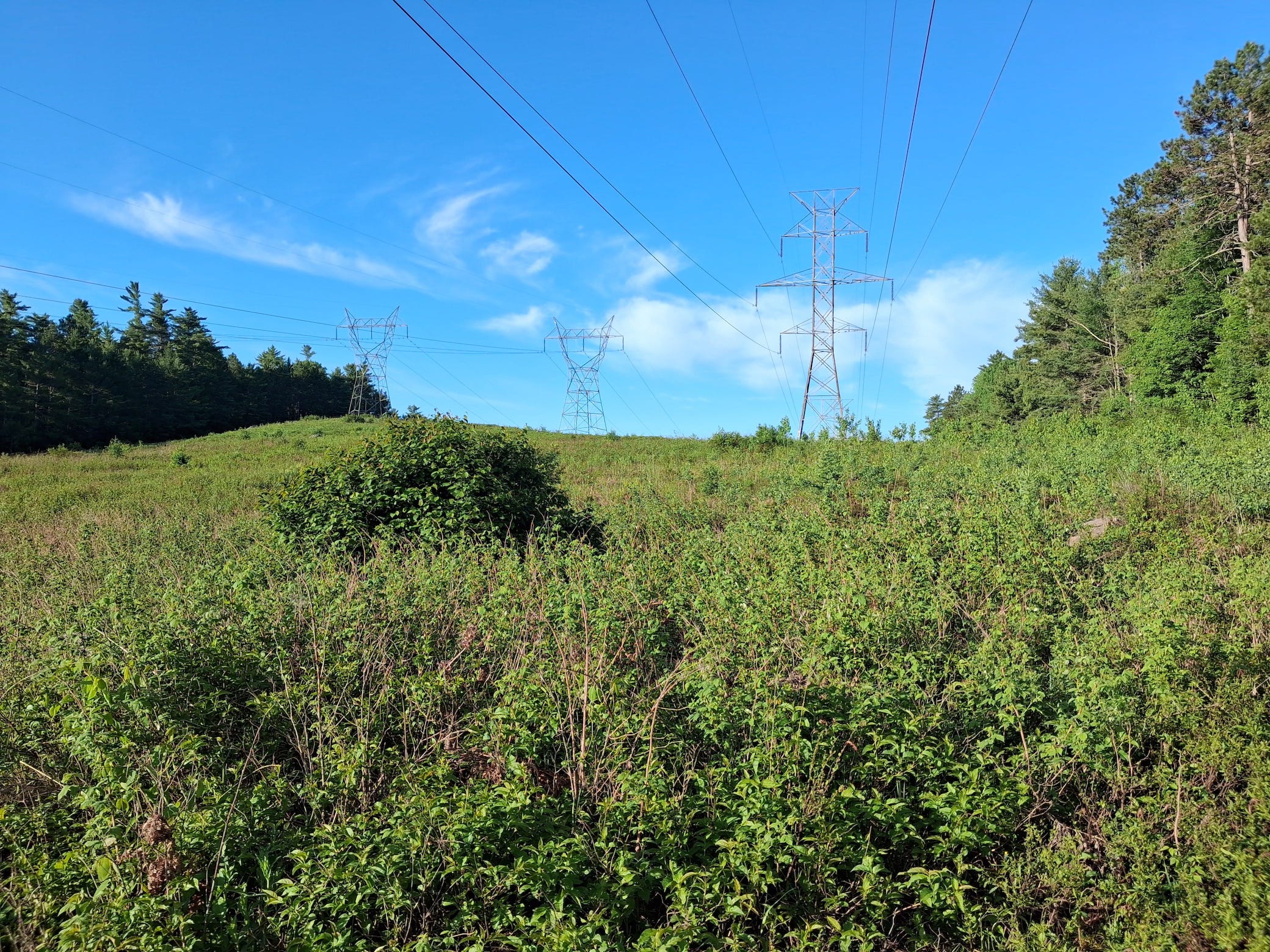
After travelling several kilometres we took a short break here. We had started out toward the foot of the far distant hill.
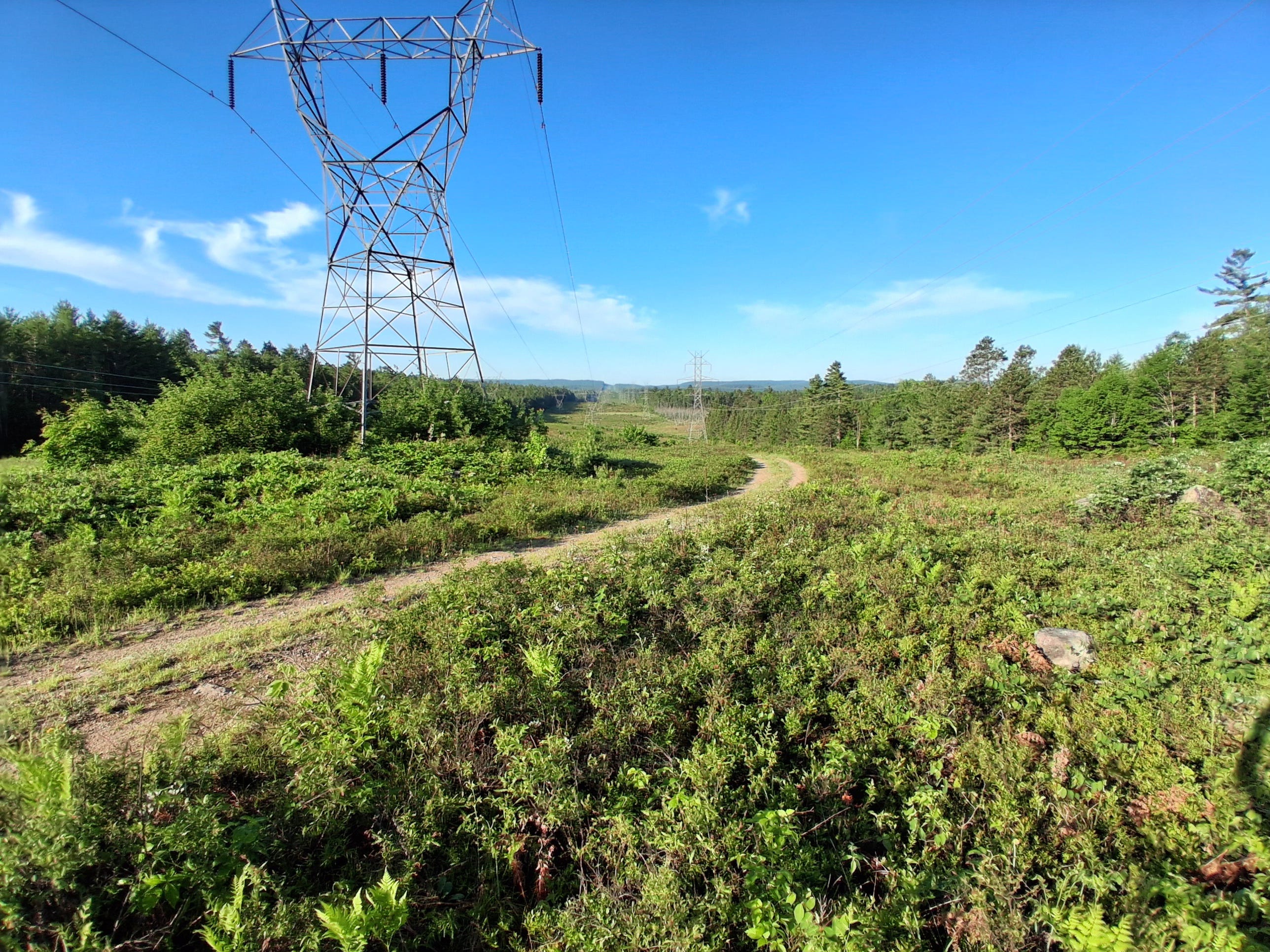
We’ve reached the highest point. Behind us the land drains down toward the Bonnechere River. Ahead of us water flows to Carcajou Lake, Wenda, Spectacle Lakes and on to Grand Lake. Over the highest, distant hill a portage takes you to the top of Grand Lake.
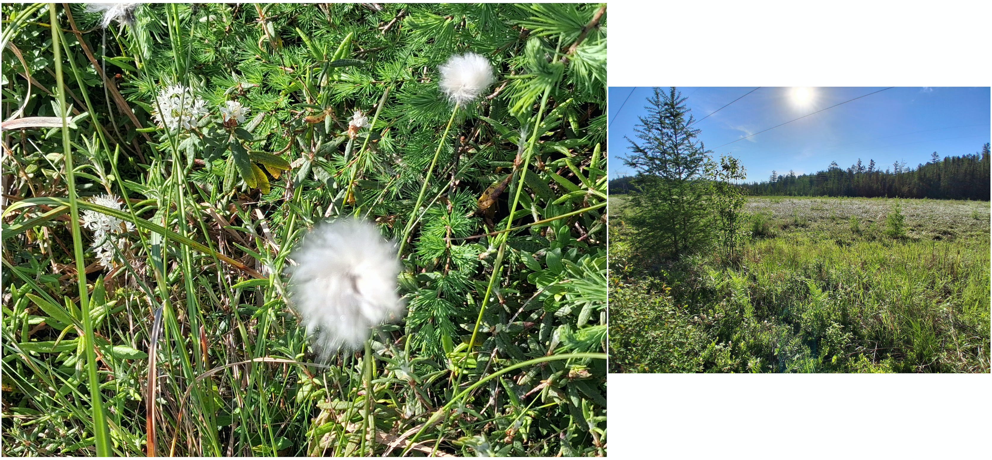
In one of the low lying areas we came to a marsh that was covered with a mass of this fluffy white flower. Unfortunately, the camera on my phone did not capture the image as I had hoped.
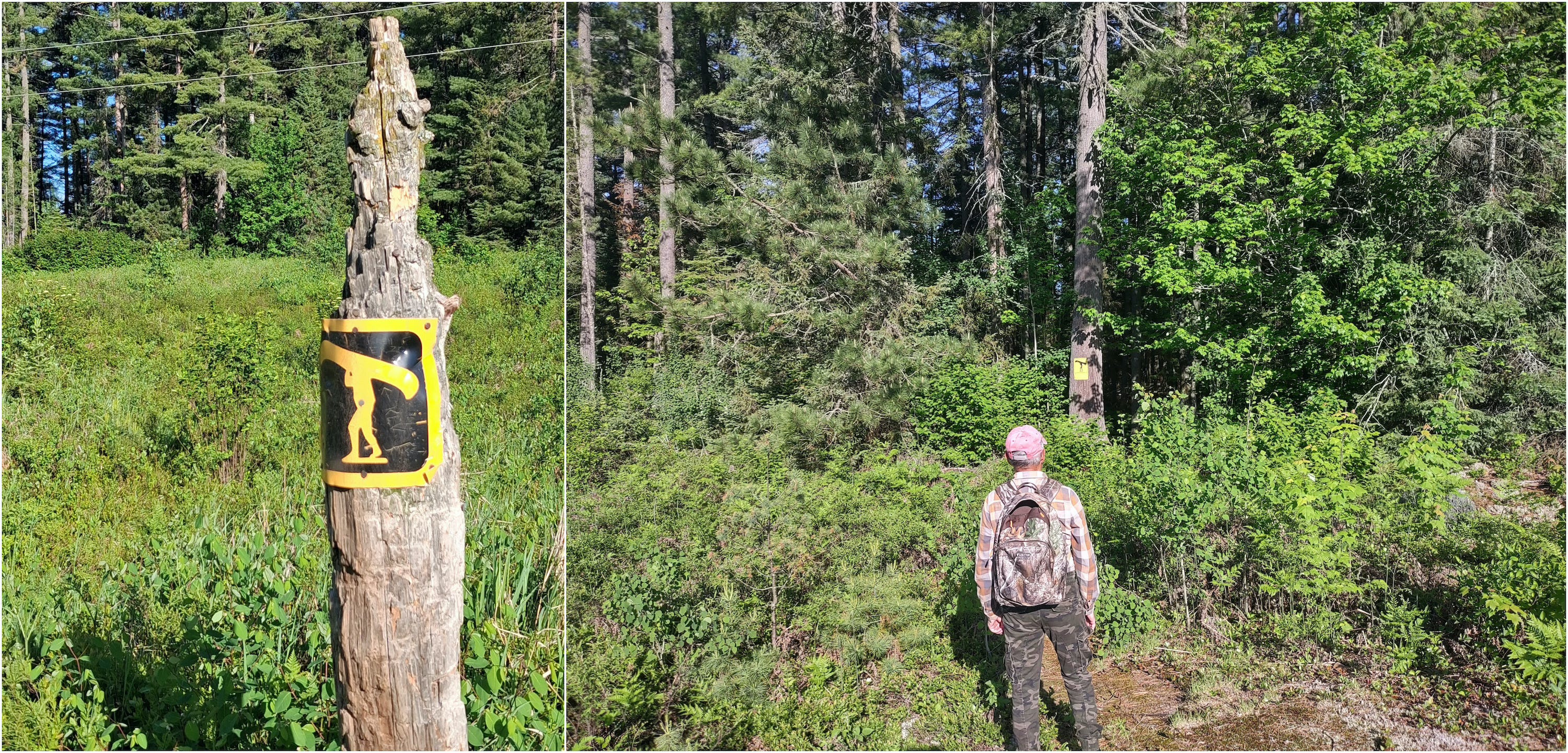
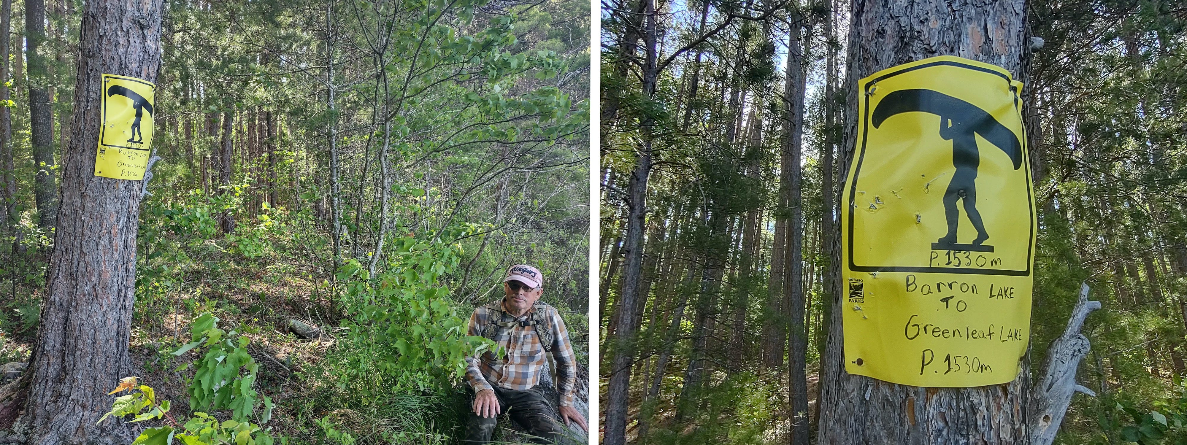
After approx. 8 km you come to the sign post for the portage to Barron Lake. The sign for the start of the trail is located along the tree line and is slightly hidden from view when standing along the hydro line, especially later in the summer when the vegetation is thicker.
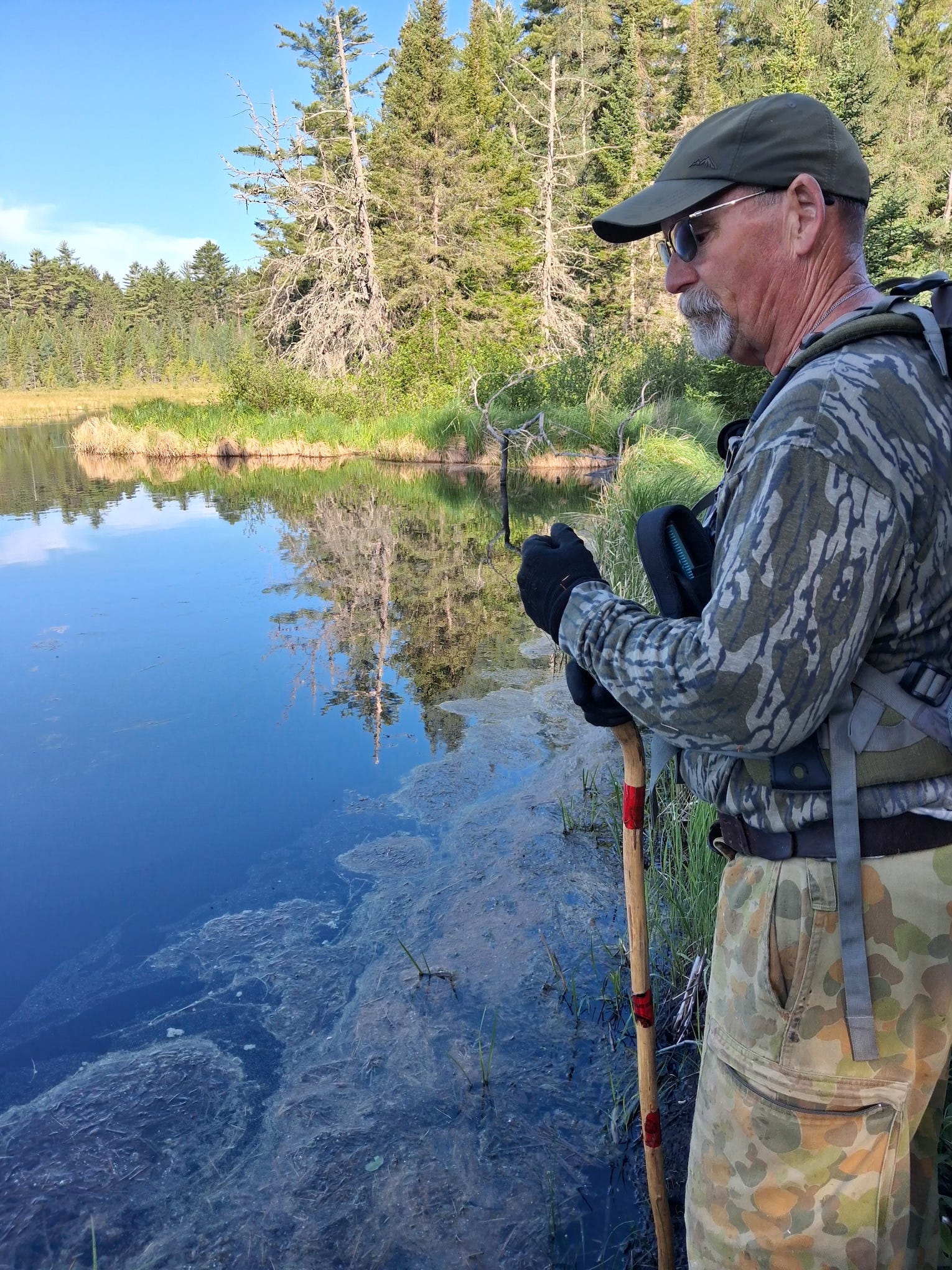
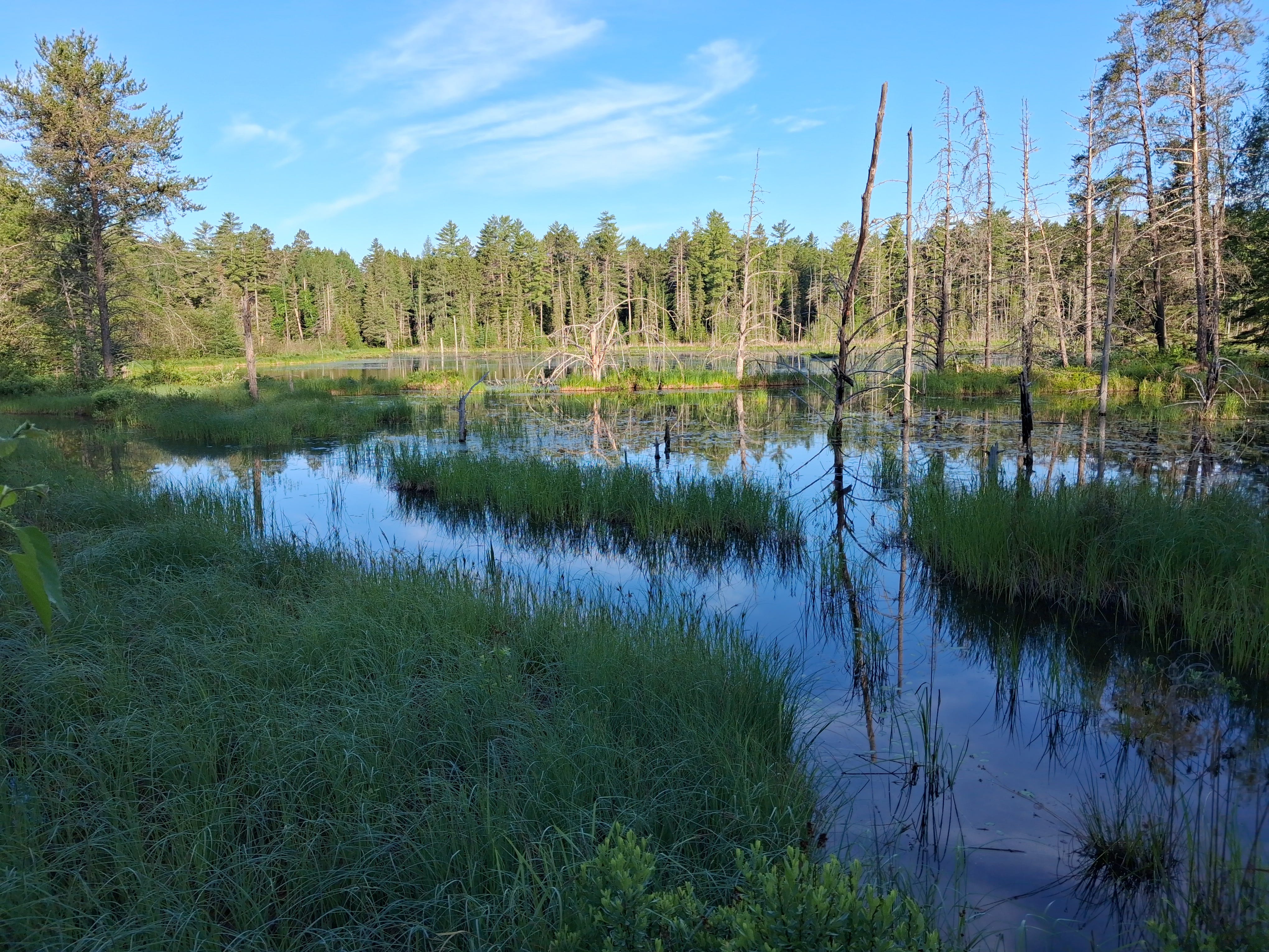
A short distance in along the portage you come to a beaver pond, which is noted on Jeff’s map. The land to the right side of the pond is boggy and wet, so for anyone hiking in it means trying to keep to the tufts of tall grass along the pond edge, avoiding as best you can sinking into holes and mud.
We’ve made our way around the pond and are looking back. After this you are on dry, higher ground the rest of the way to Barron Lake.
While hiking in the park in late May and into June does mean dealing with mosquitos and black flies, one of the advantages is the number of flowering plants that can be discovered along the way.
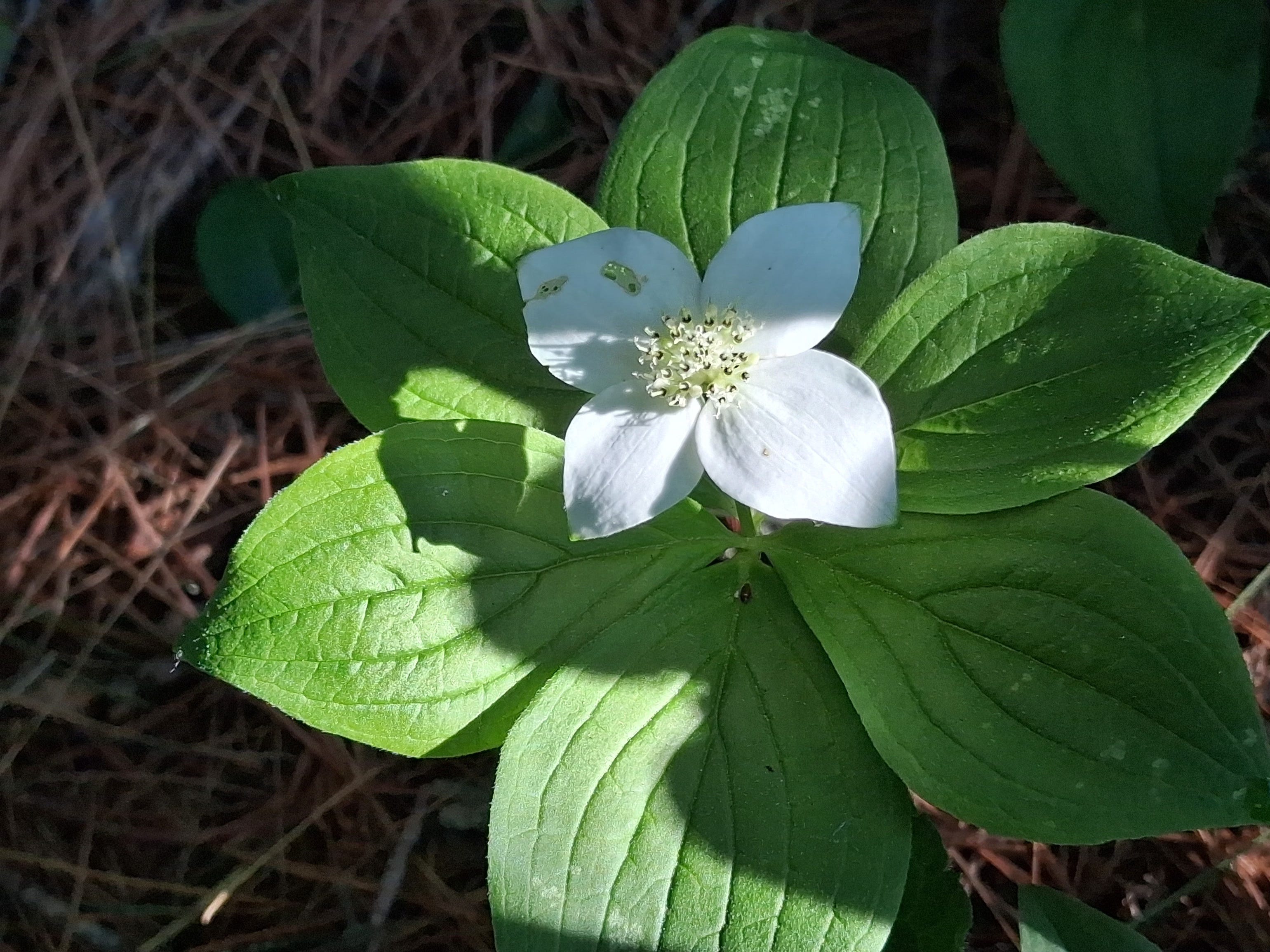
Bunchberry
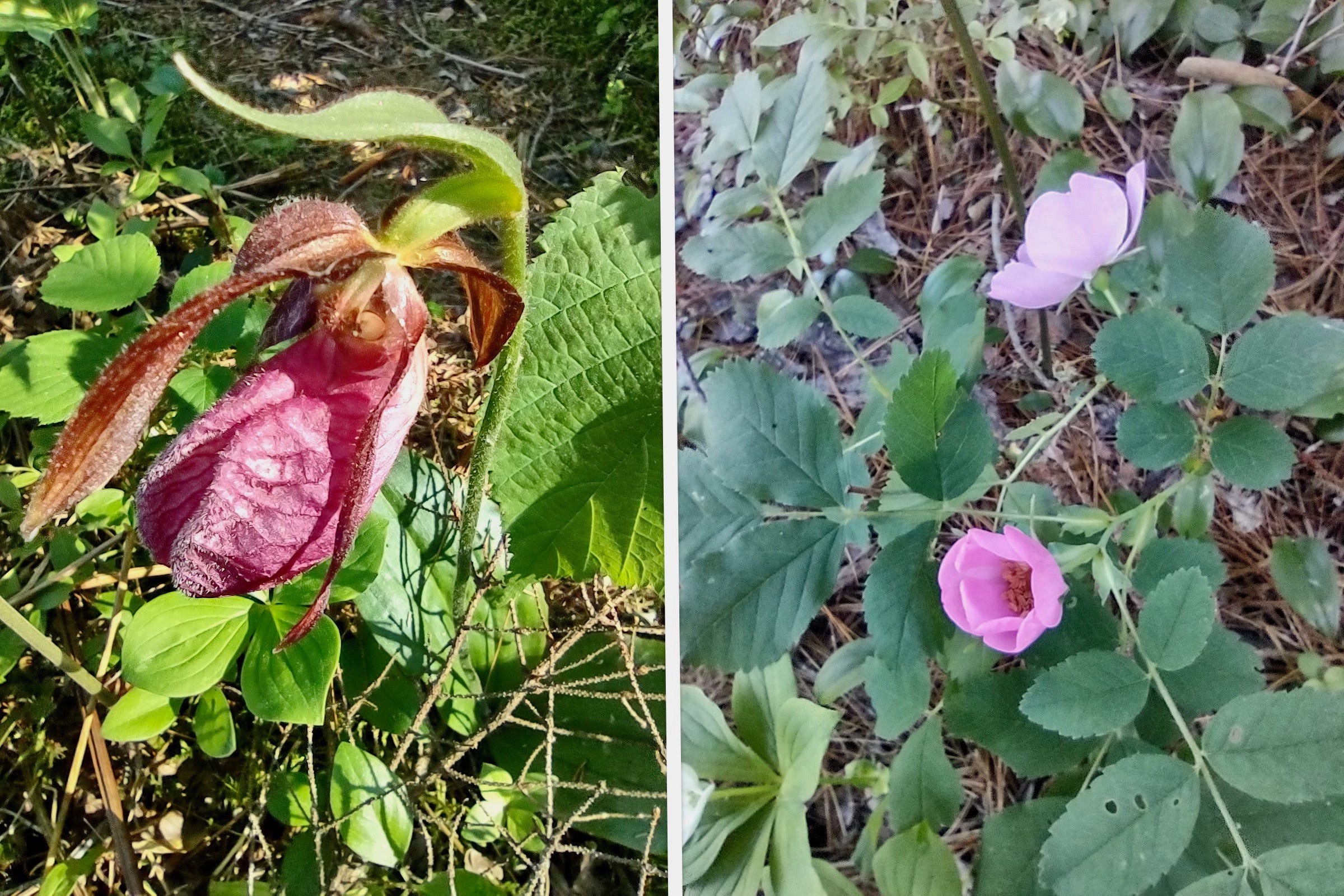
Lady’s Slipper — Wild Rose
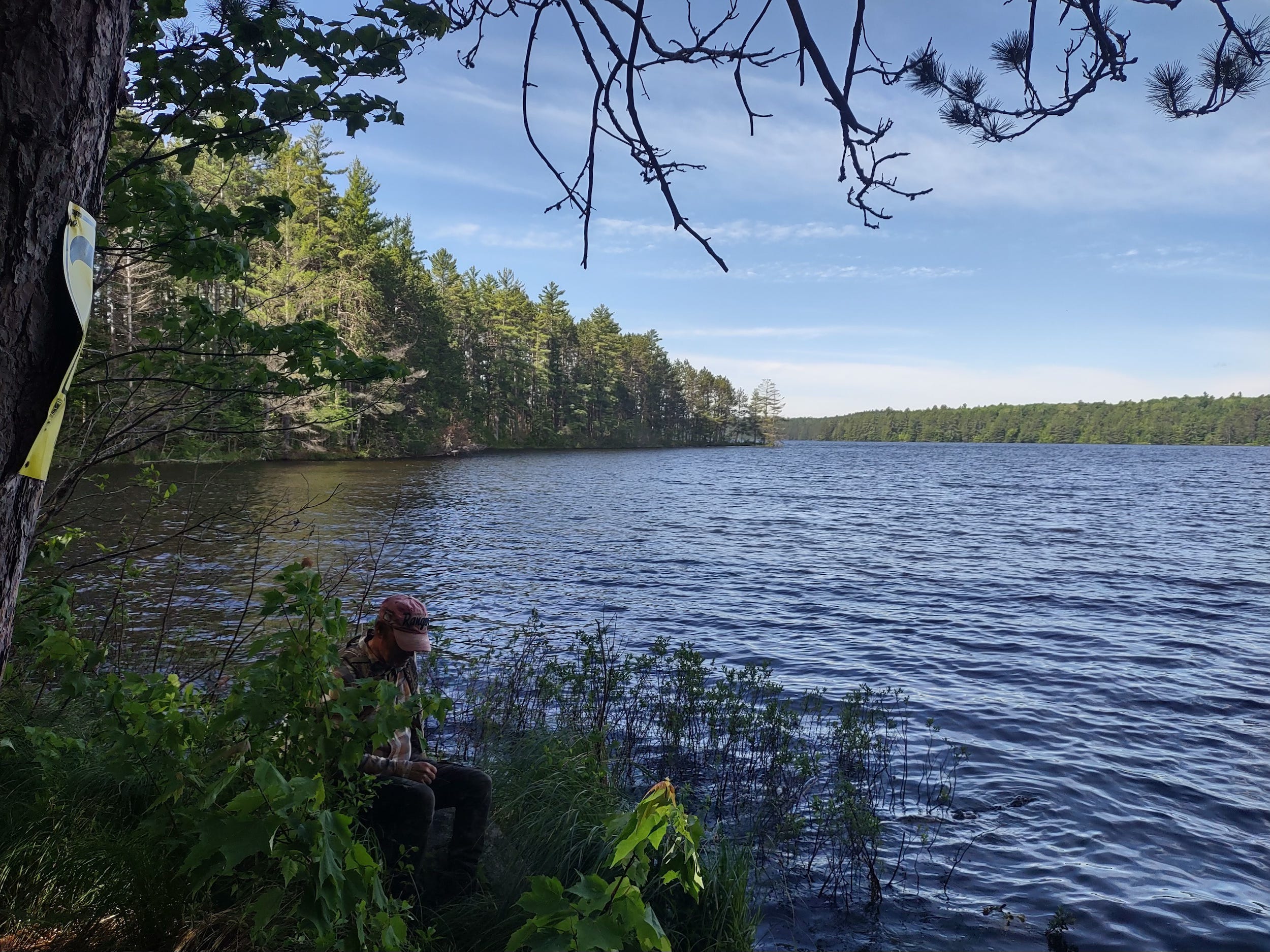
The portage from the hydro line brings you to this spot on Barron Lake.
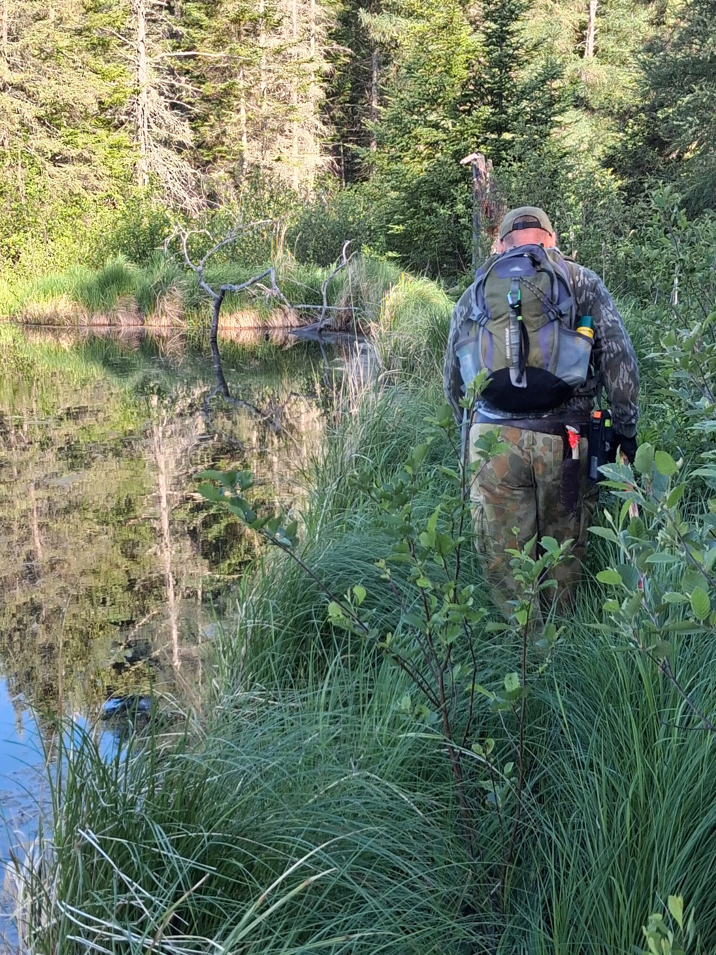
This is where our first bushwhack of the day began. We would have to make our way around this bay and over to the start of the portage to Green Leaf.
We knew from looking at the topographic maps and aerial photos that it would be tough going; but it was even worse than we had imagined. You can probably guess what the mosquitos were like in this area.
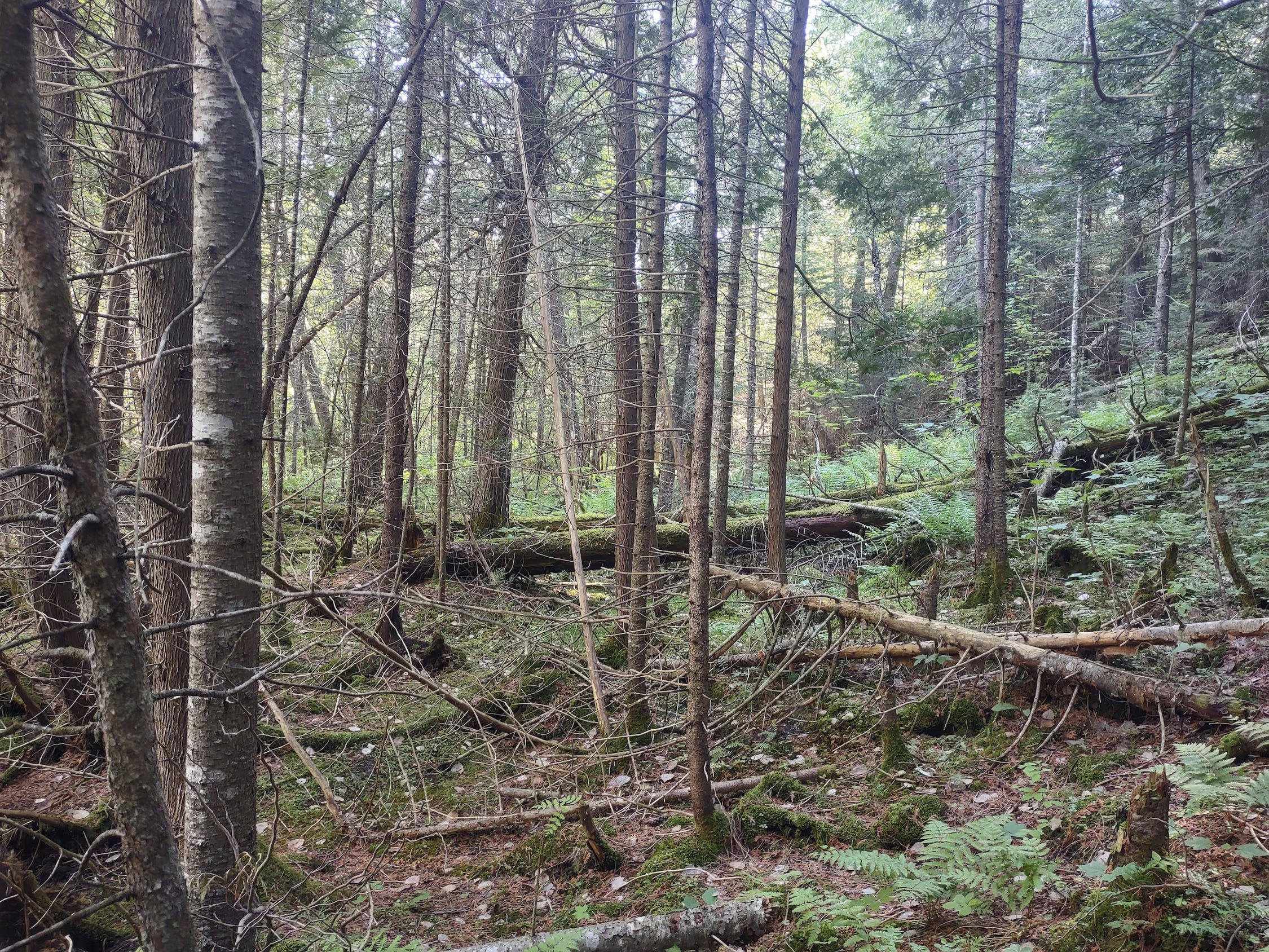
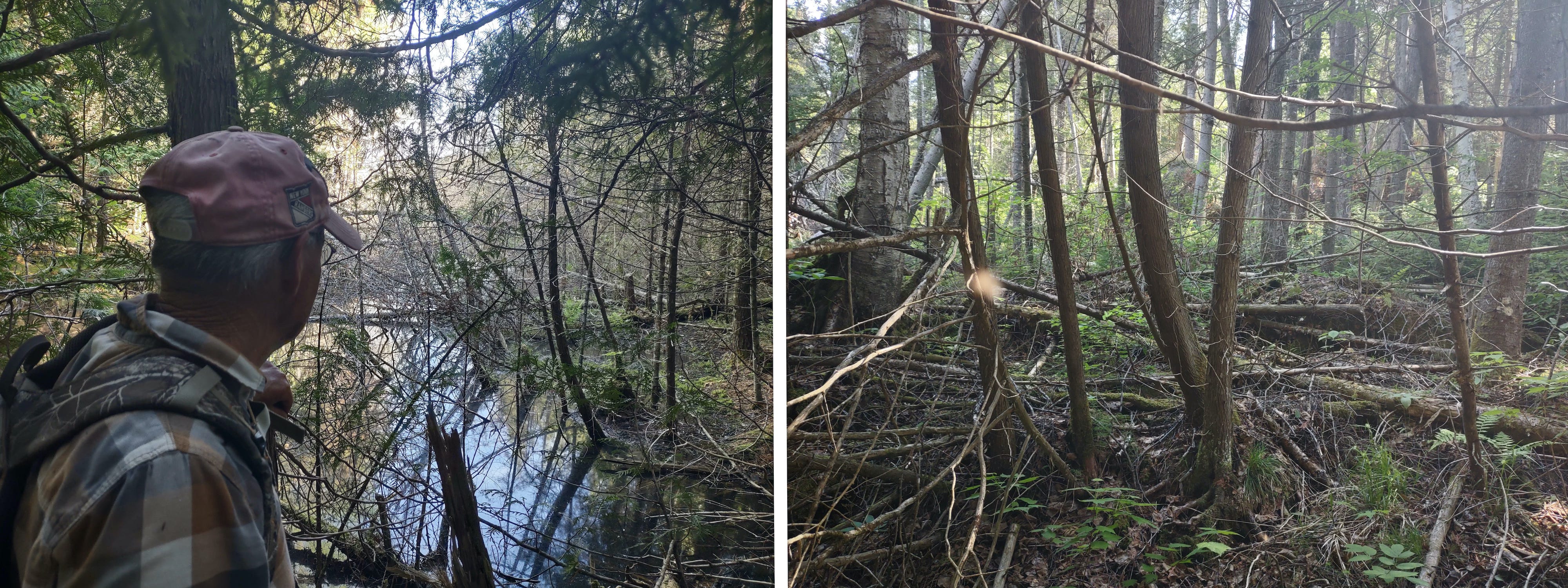
The whole area is covered with deadfall.
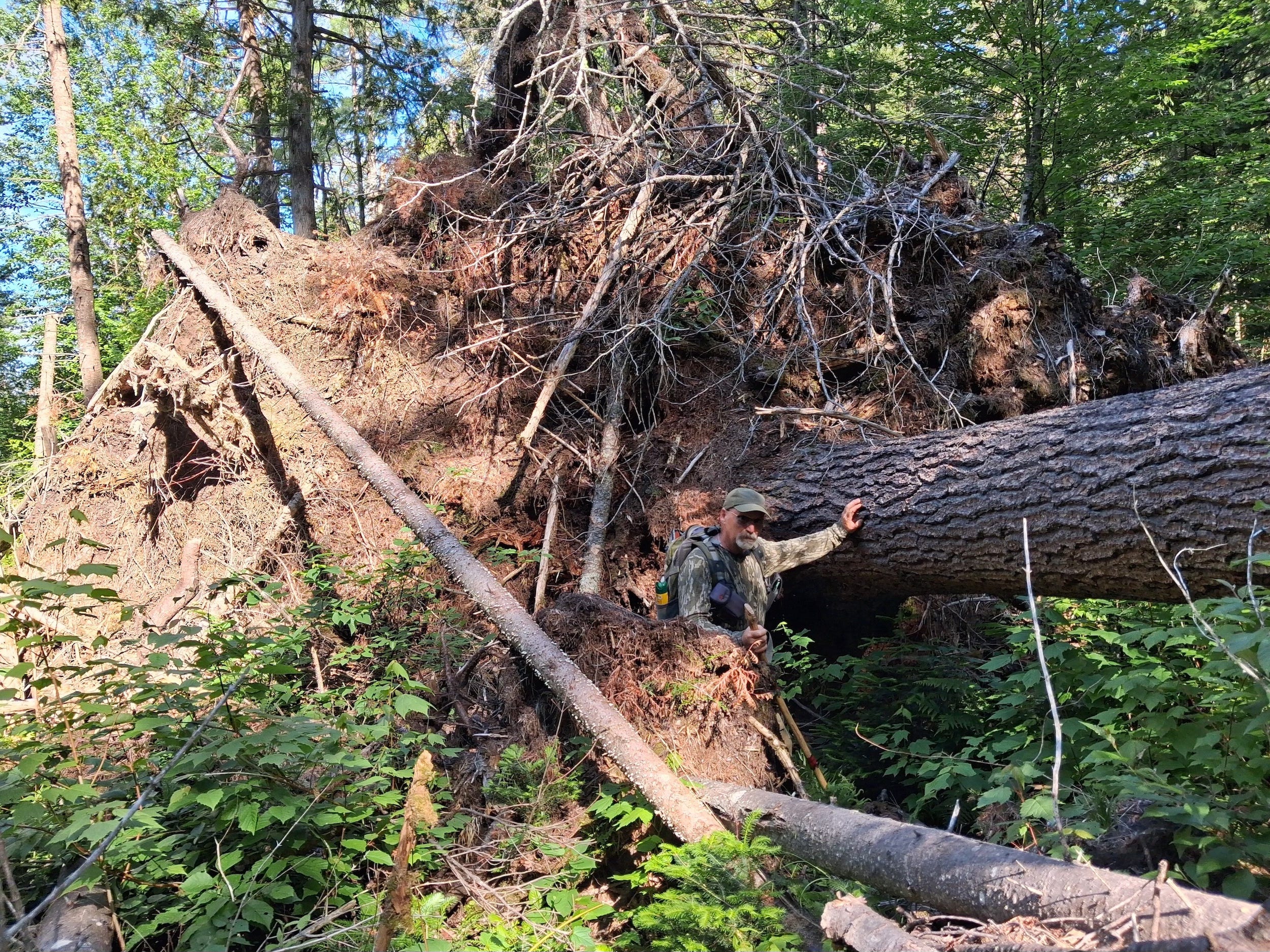
The recent high winds we had in May and June also went through this area. Here it was a matter of climbing under and over fallen trees. This uprooted white pine lifted a huge piece of earth as it fell.
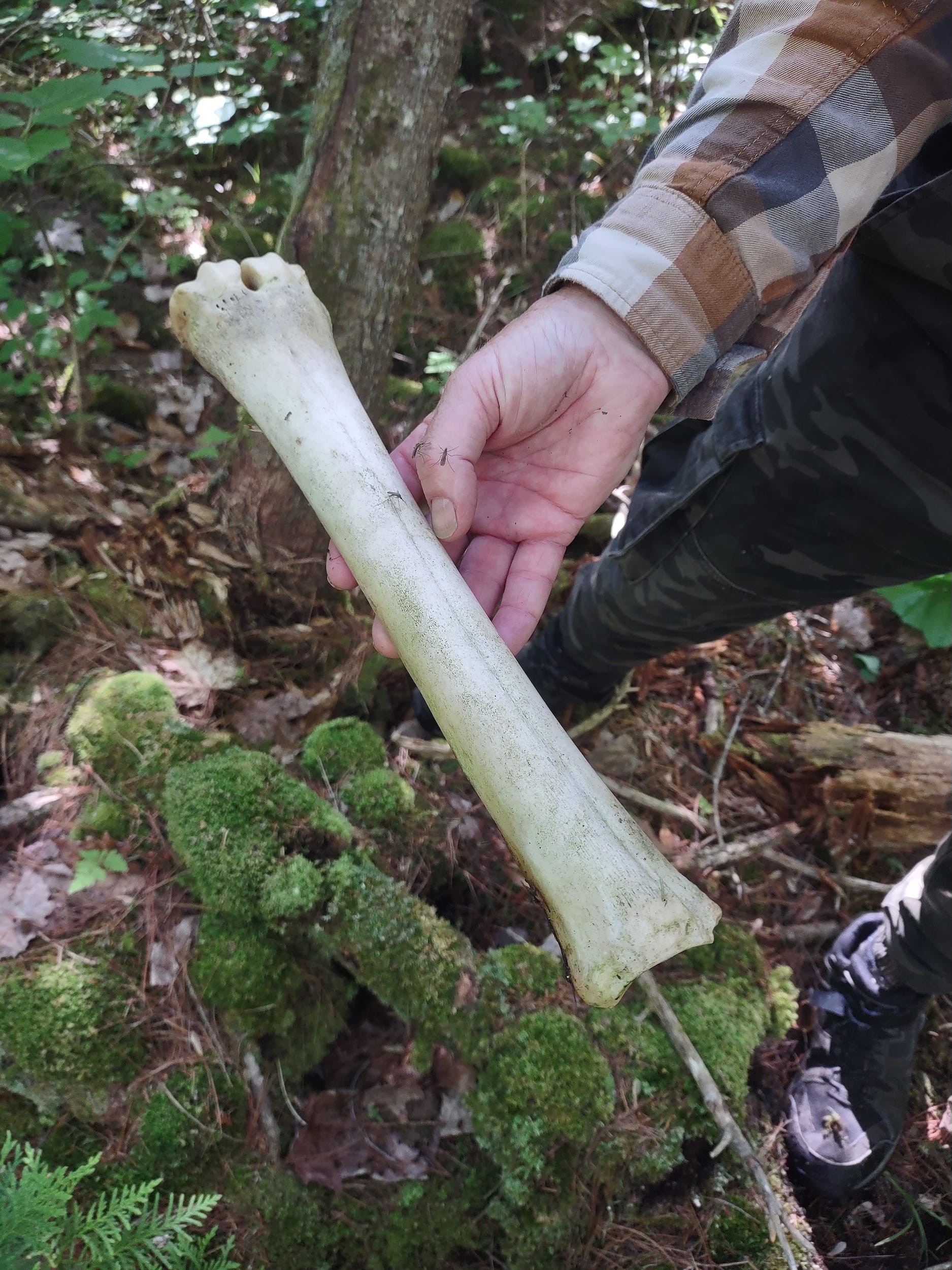
We came upon this moose bone that had been eaten clean of its flesh.
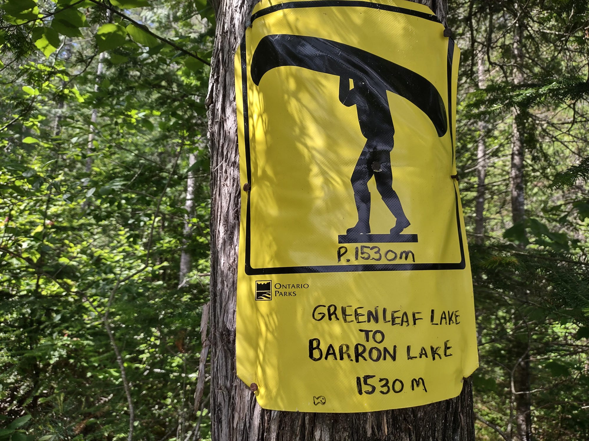
Having made our way around the east side of the lake we came out close to the portage to Greenleaf.
It was a hot day so we stopped here to take in some fluid before heading out on the 1530m portage.
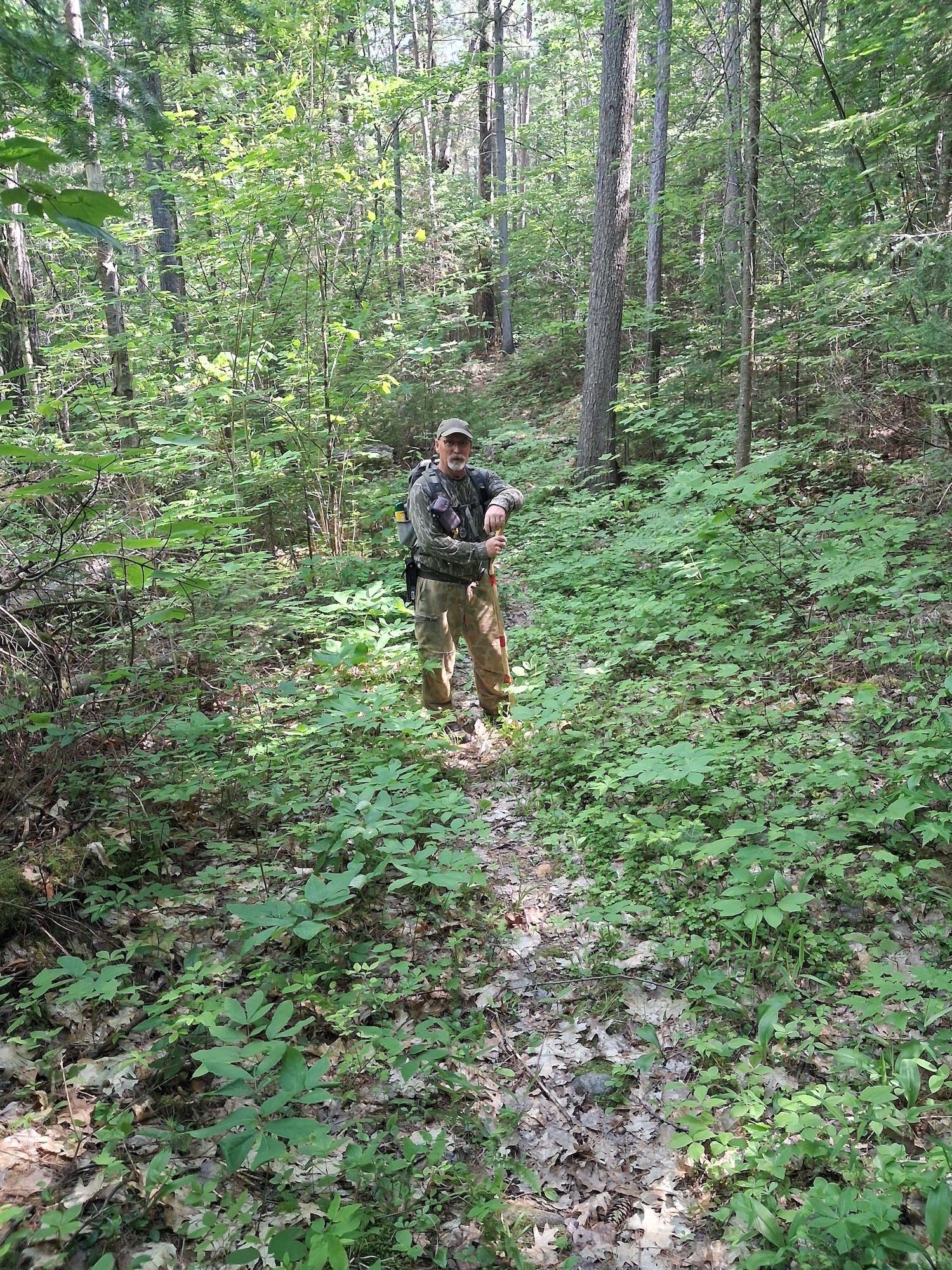
The portage involves a steady climb for a short distance after leaving Barron, and then a long, gradual descent toward Greenleaf. There were only 2 spots where larger trees had fallen across the trail.
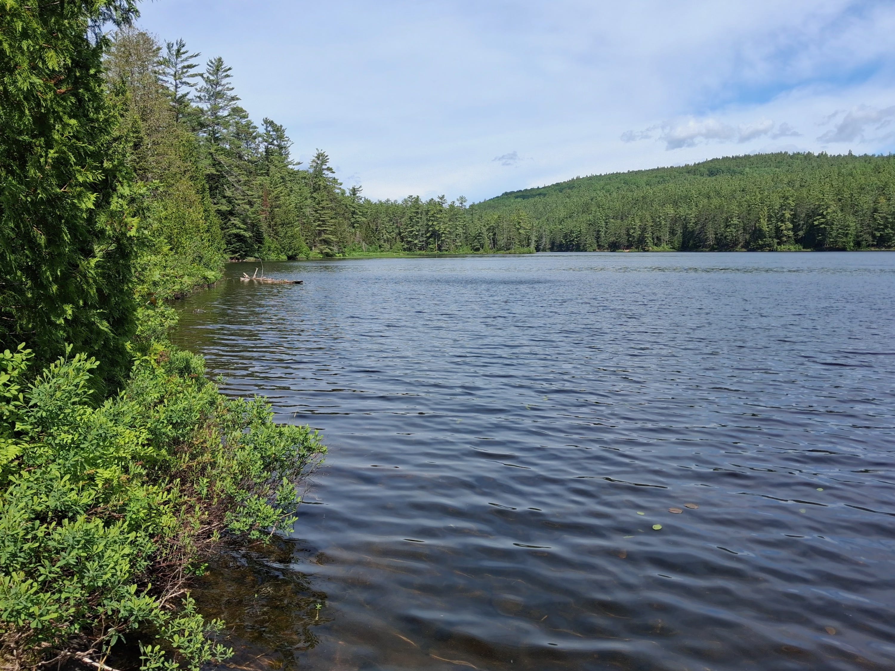
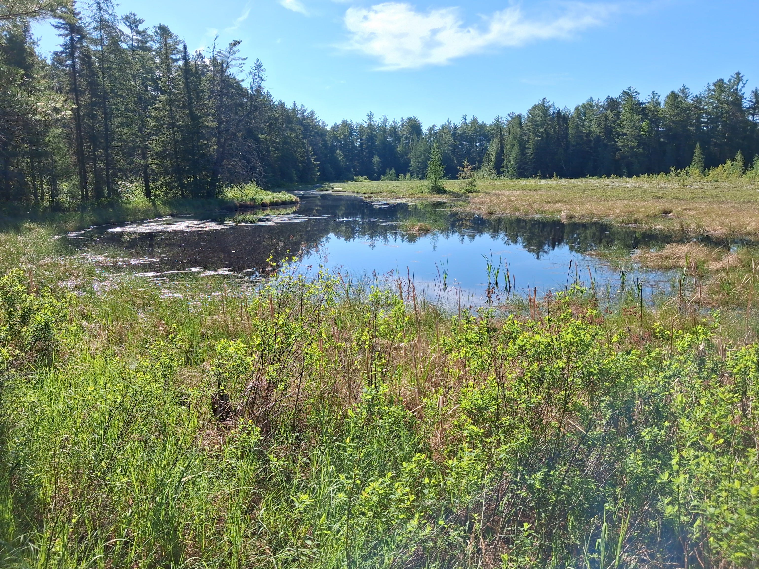
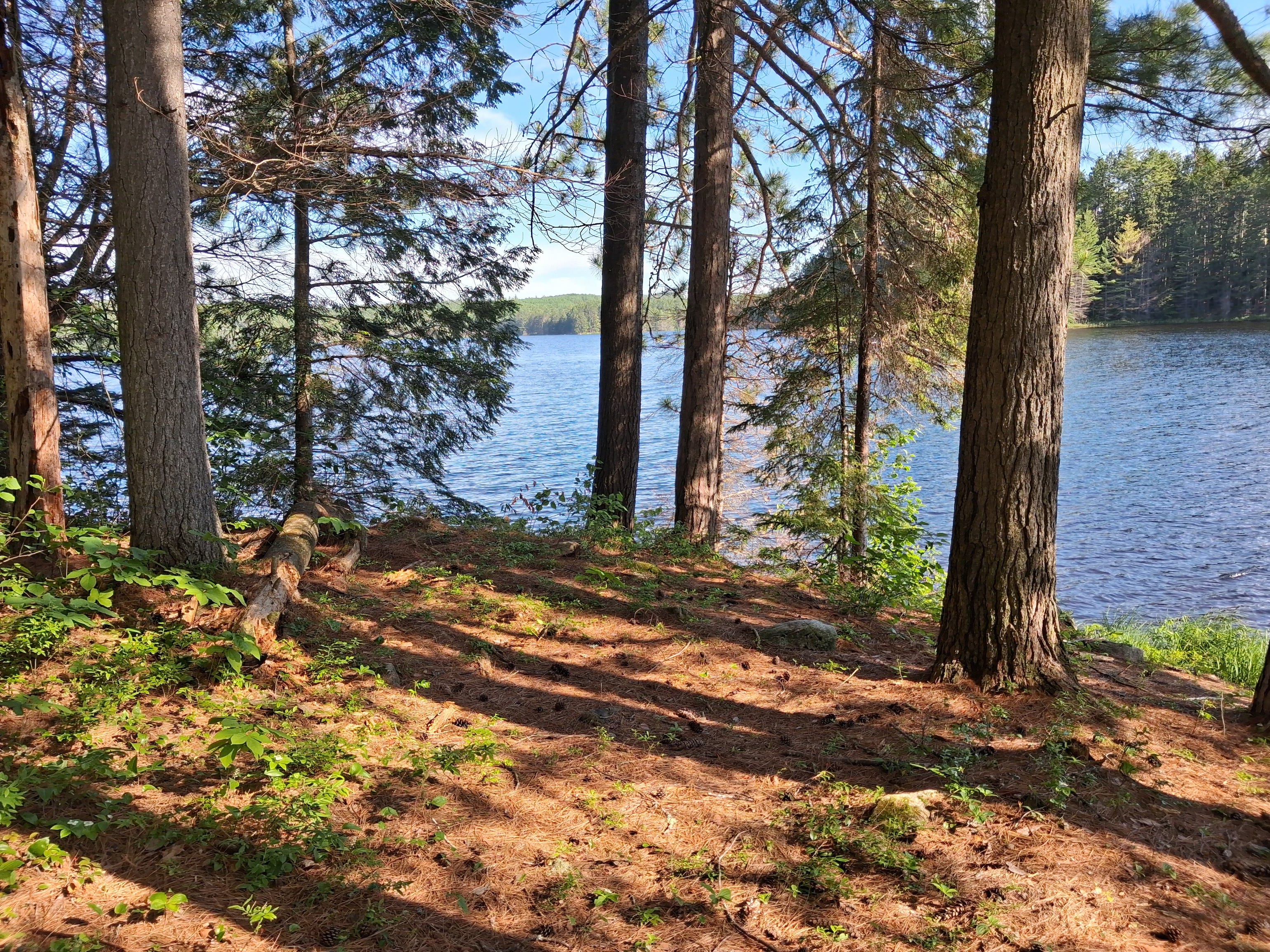
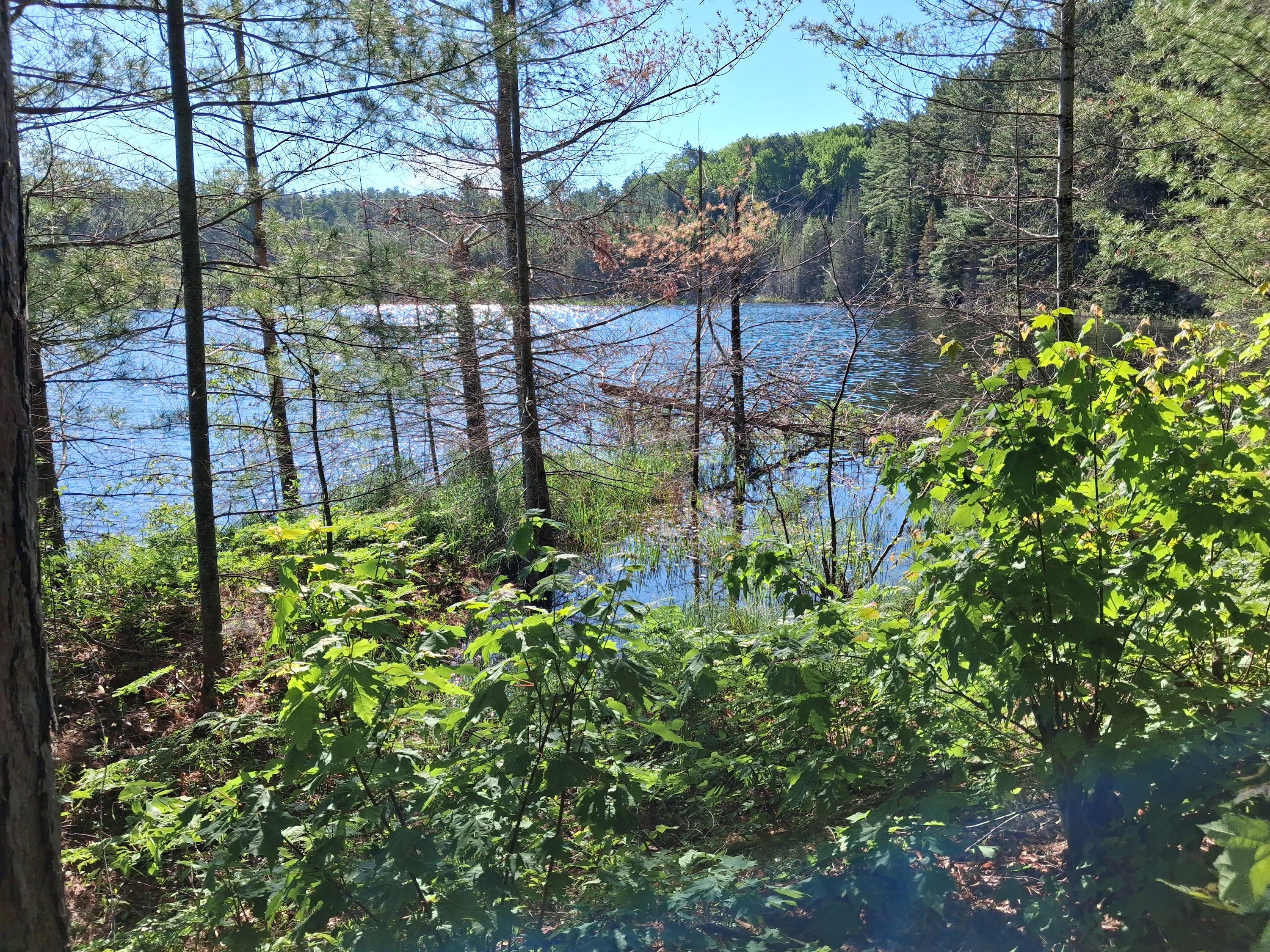
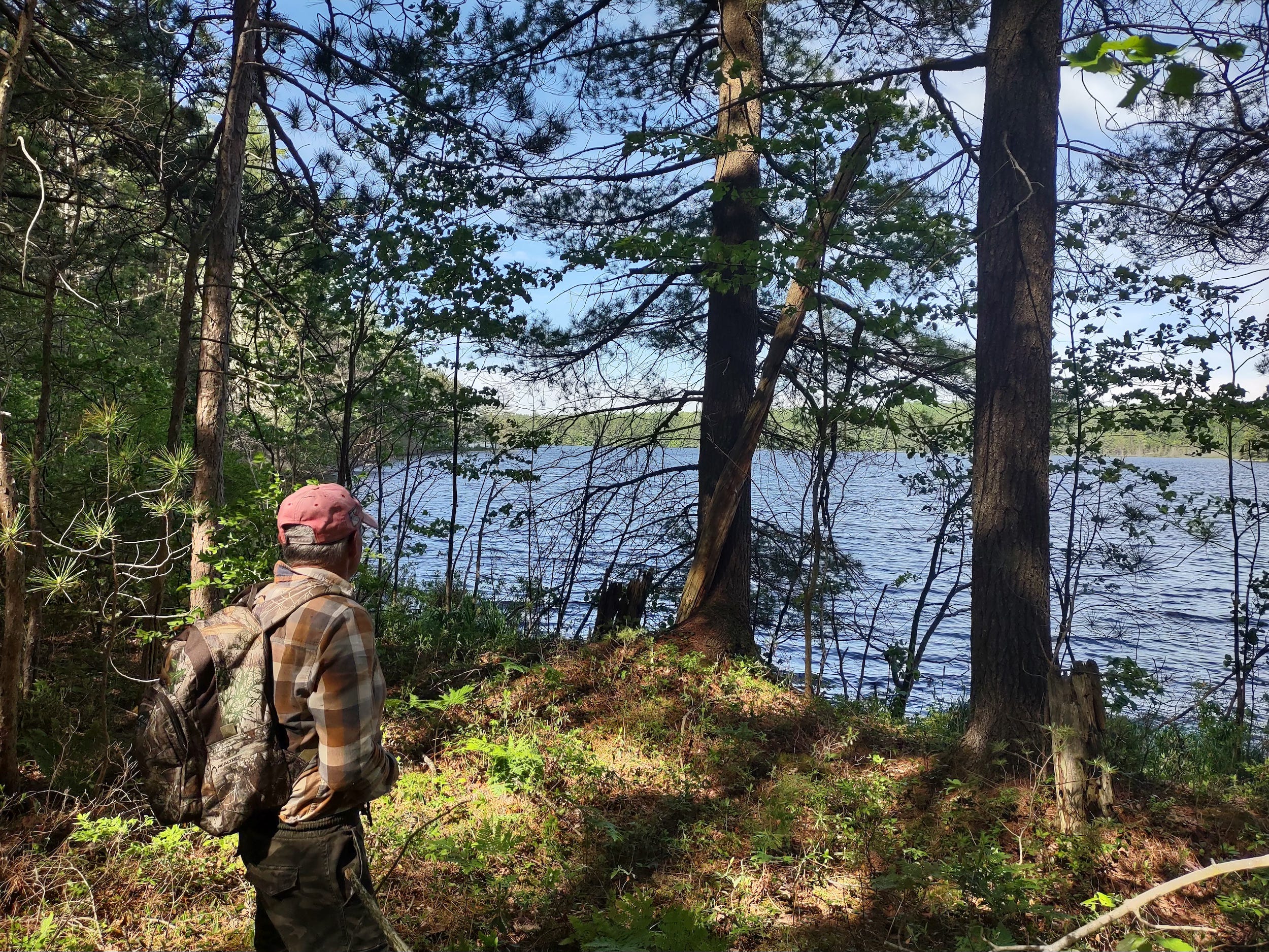
Greenleaf Lake — looking north.
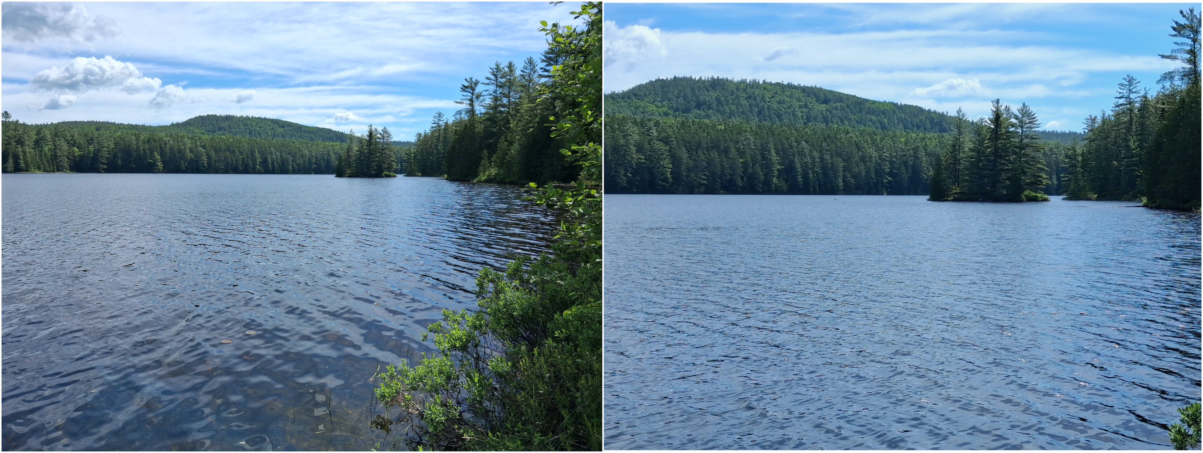
Looking east from the put-in.
For the return journey we chose not to take the portage back to Barron. Instead, we bushwhacked following an older route that was used by rangers in the past when travelling from Carcajou to the ranger cabin at Greenleaf.
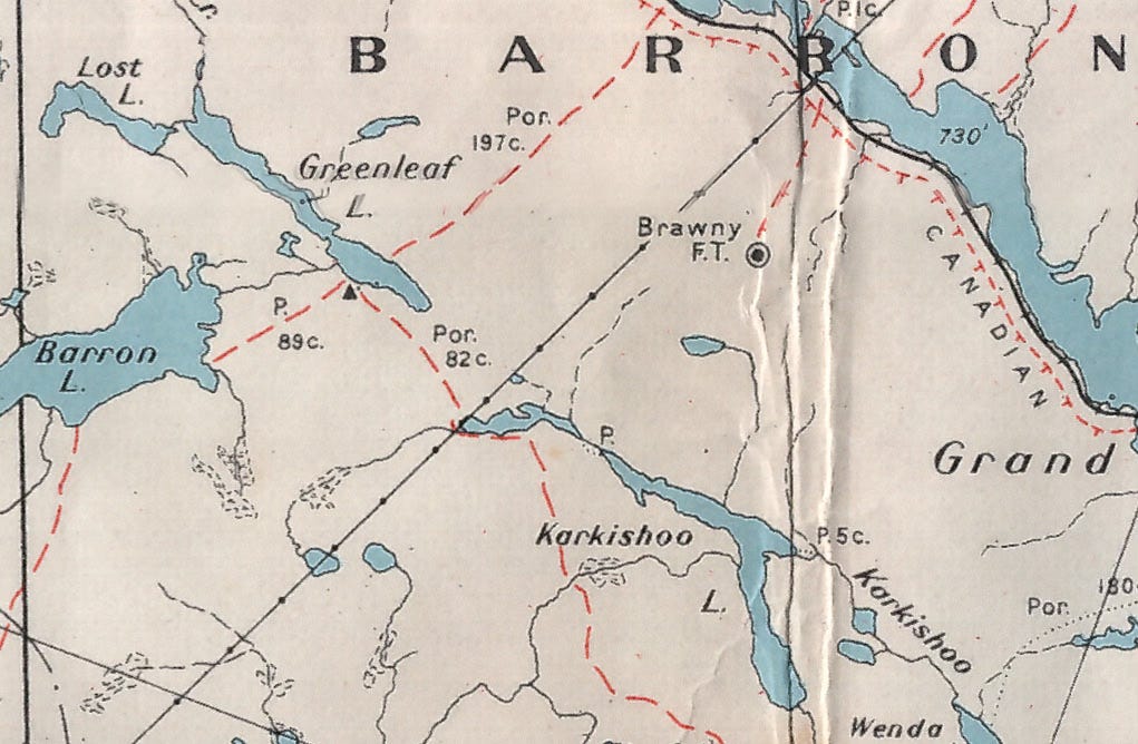
Department of Lands and Forests, Algonquin Park, Map 47a, 1953
At that time the portages to Barron and Greenleaf were different than those that exist today. Back then, a portage from Clemow Lake was a major route to Greenleaf. A portage to Barron ran from Batise Lake with the put-in on Barron situated much further down the shoreline than the current location.
Our plan was to bushwhack back to the hydro line roughly following a route indicated as Por. 82c on the map. Taking this route we would avoid the large wetland at the end of the lake.
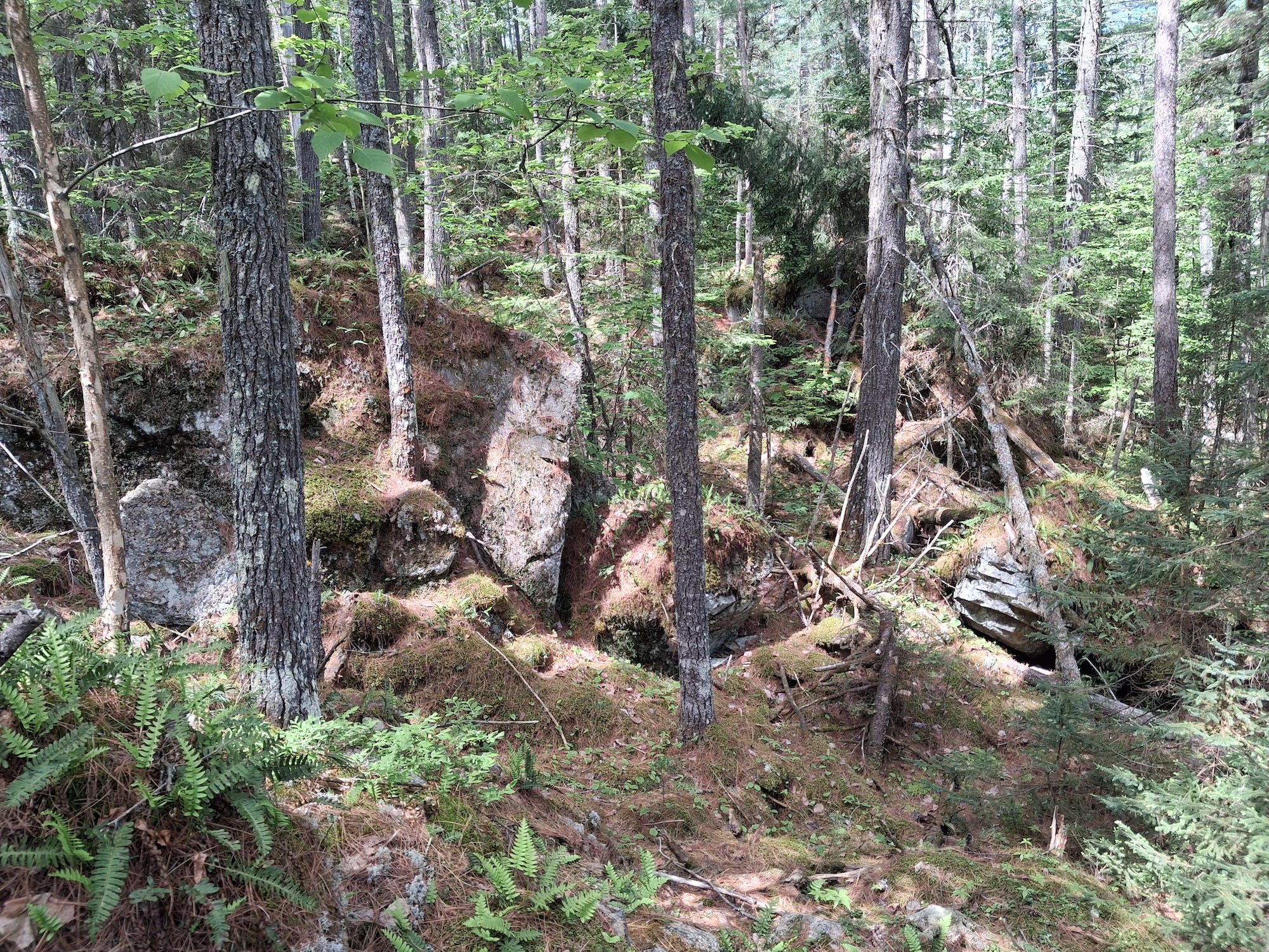
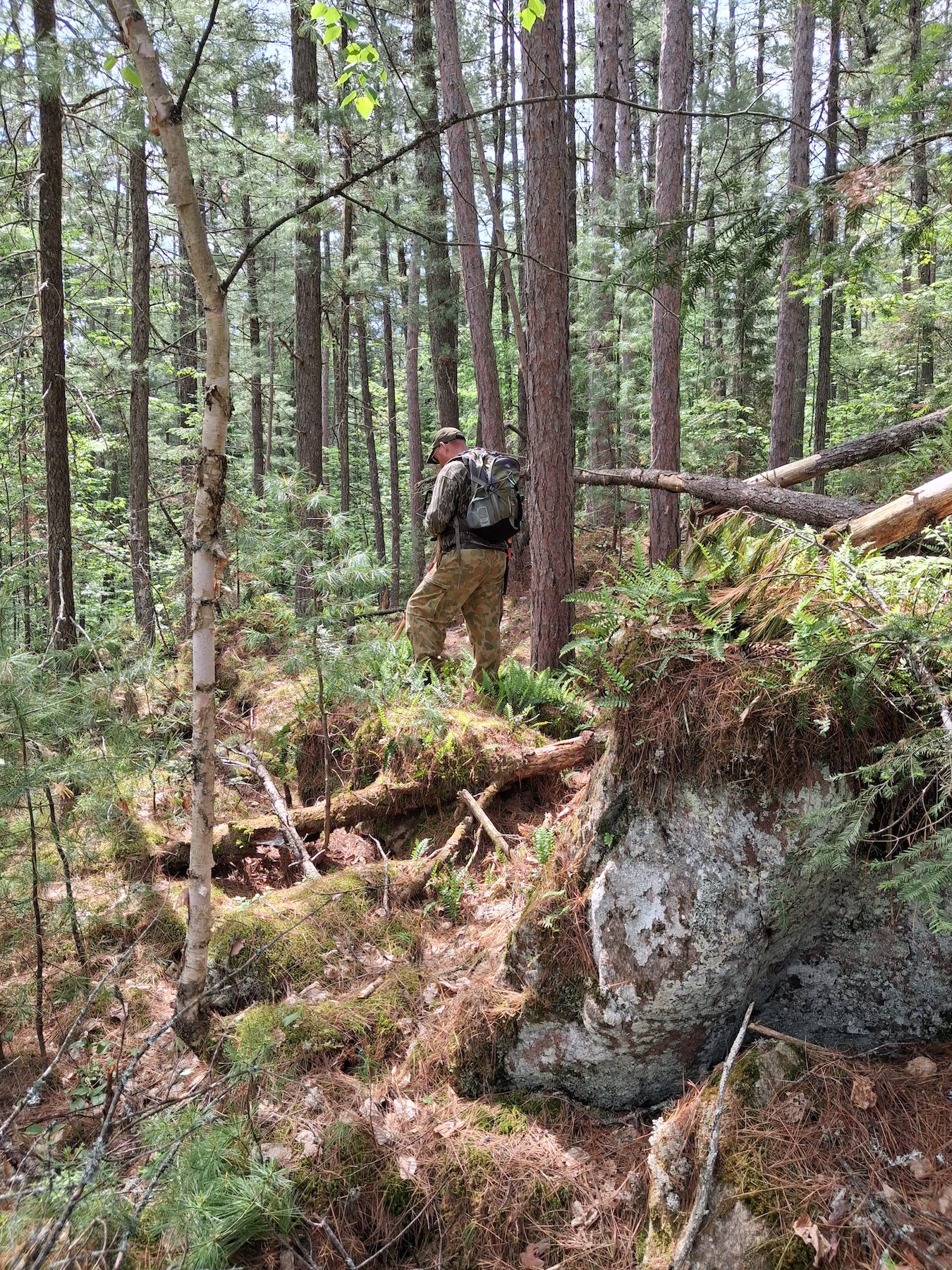
The terrain in this area is very different from the low lying land we crossed in getting around Barron Lake. Here the land is quite steep with huge boulders and deep crevices.
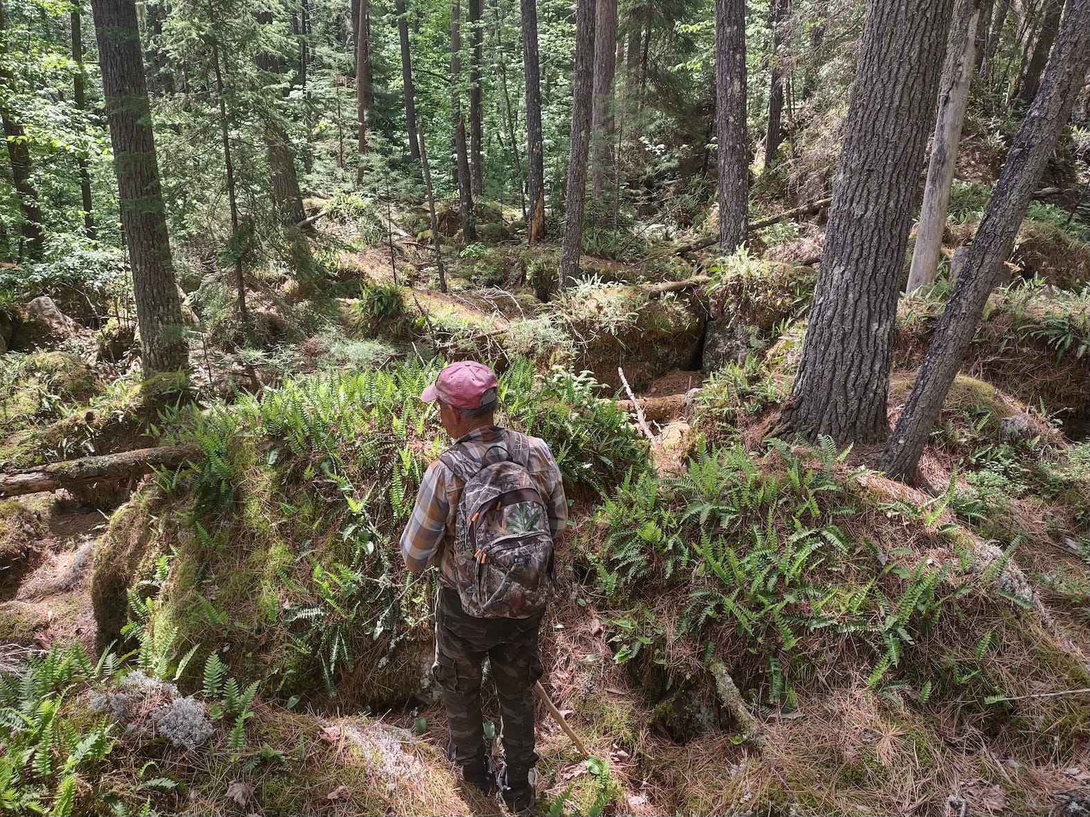
The vegetation and flowers were also quite different from what we observed going into Barron.
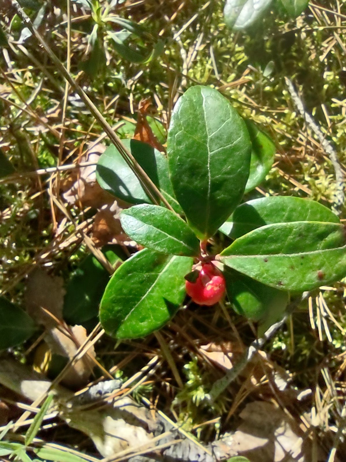
Wintergreen
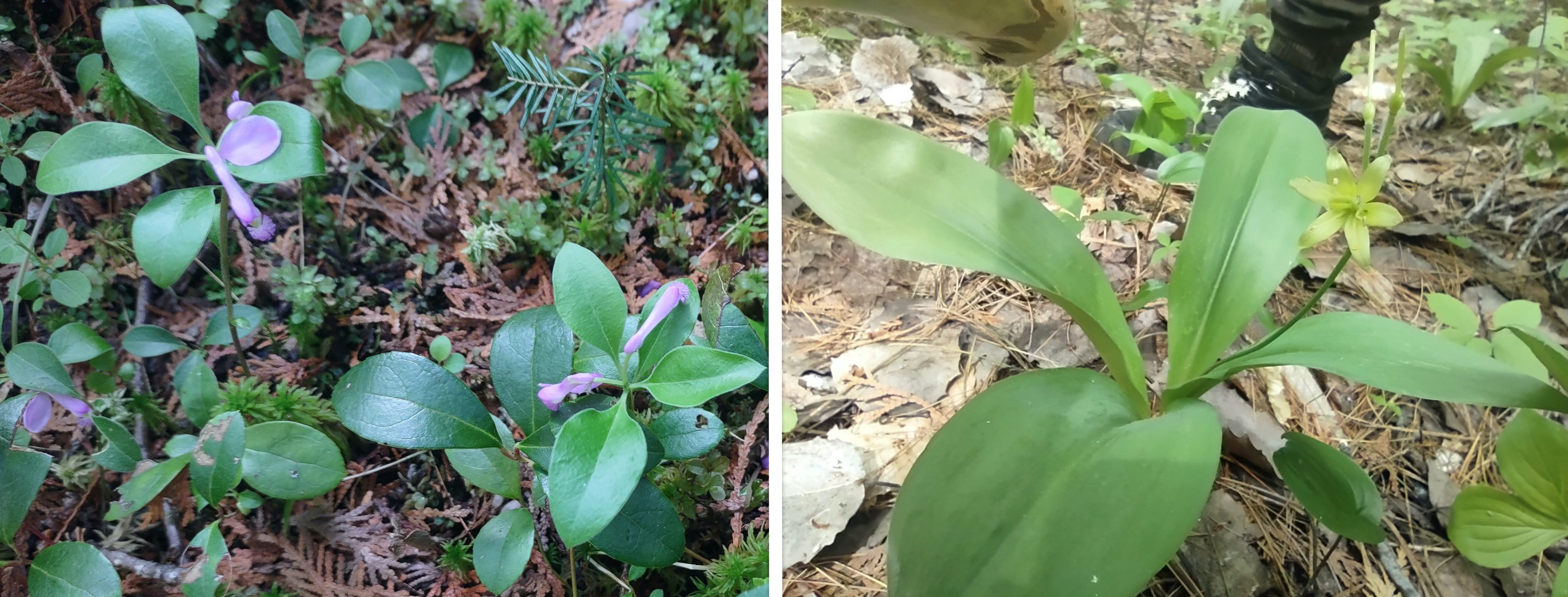
Bird-on-the Wing. — Blue Bead
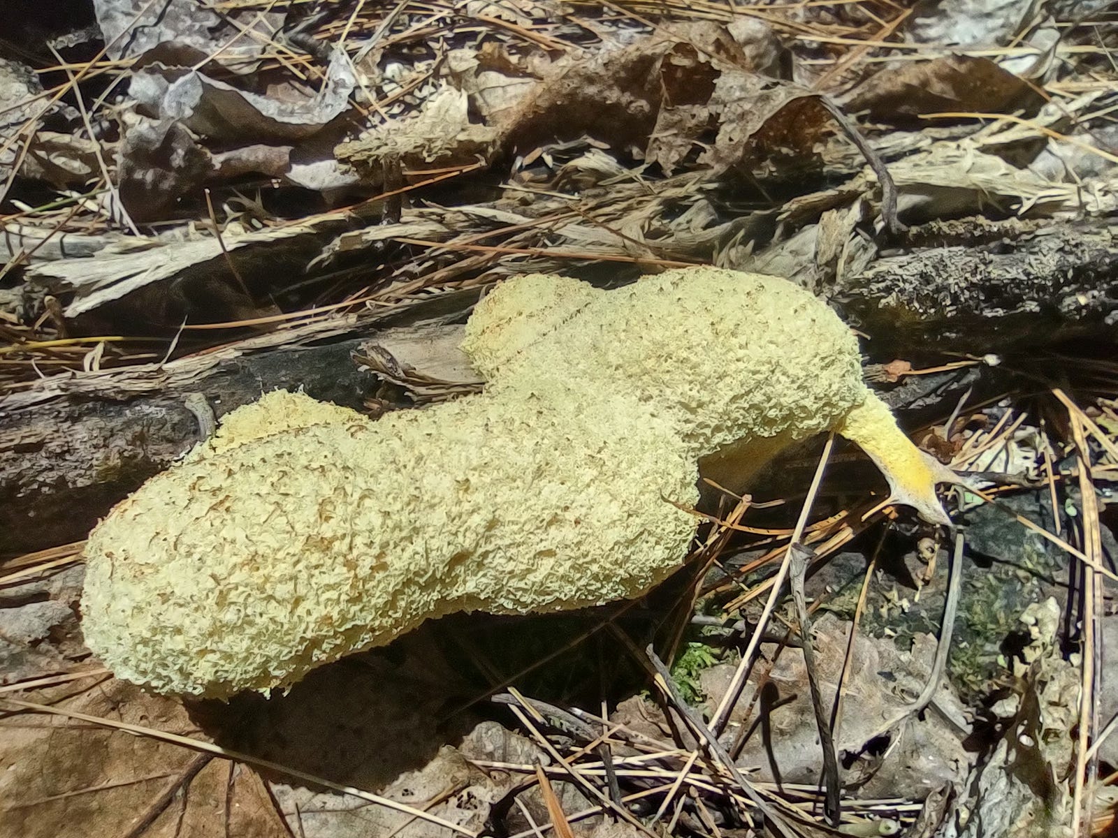
Fuligo septica — (commonly known as “dog vomit slime mold”. Once thought to be fungi, they are actually single-celled organisms that can move incrementally over rotting logs and other decaying matter. They appear as a large, blob-like mass that sometimes look like a giant yellow slug — as was the case with this one that we came across. The organism was approx. 6 inches in length
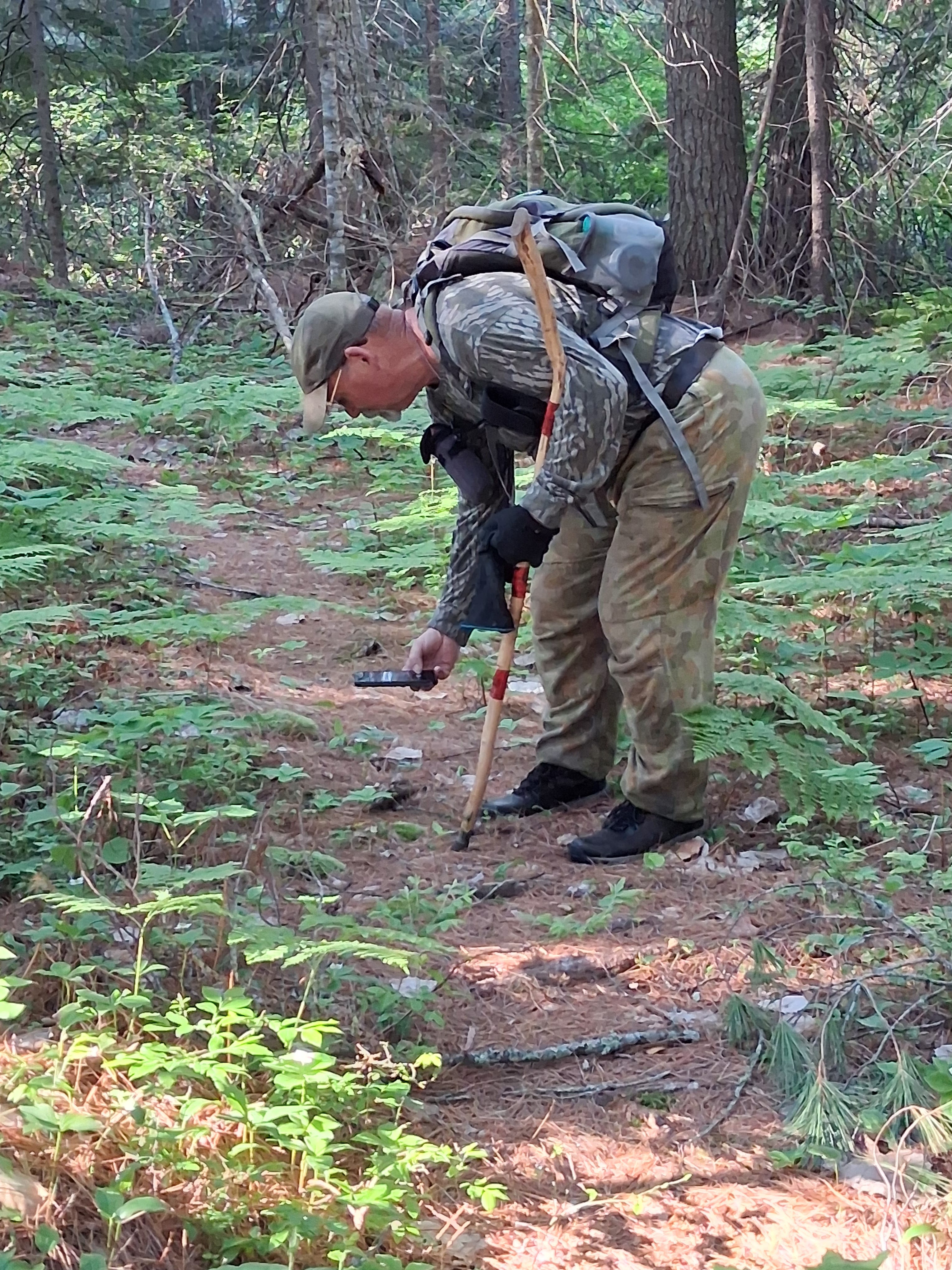
We made good time on this part of the hike.
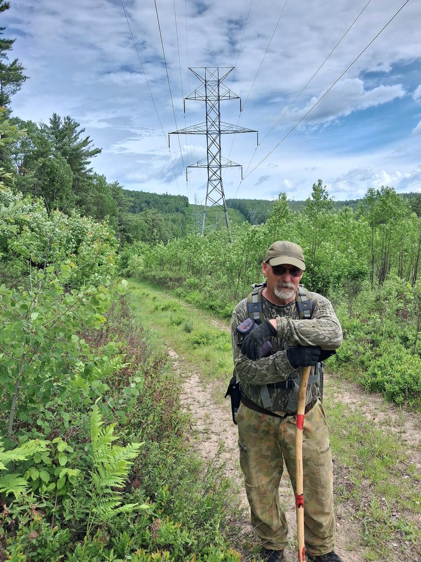
We came out to the hydro line quite close to the start of the 4970m portage that takes you up the hill in the background and comes out at the top of Grand Lake.
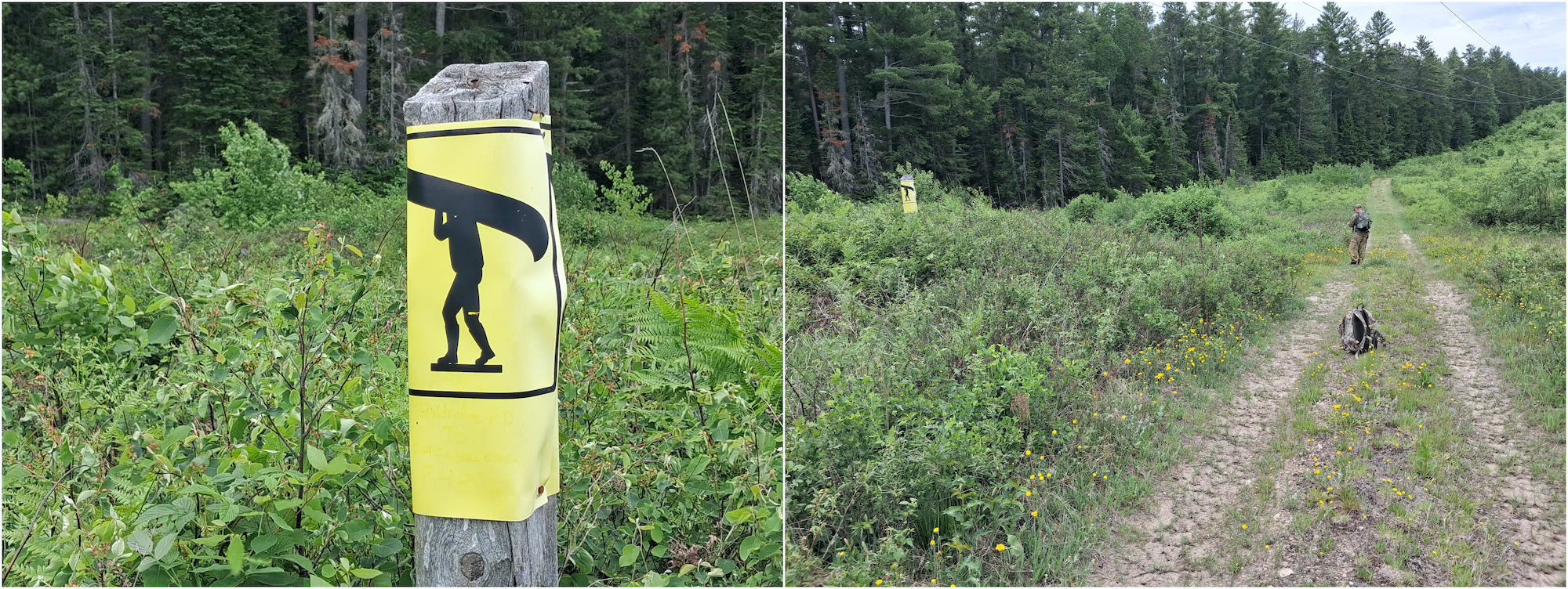
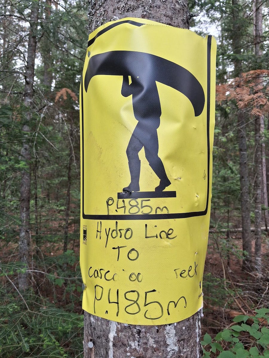
Heading back we passed the marker for the route to Carcajou Lake.
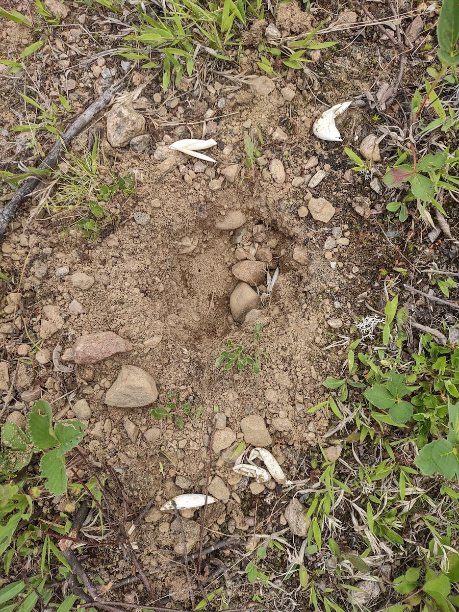
In many places along the hike, wherever there was a gravelly area, there were signs of turtle nests that had been dug up with scraps of shell laying about.
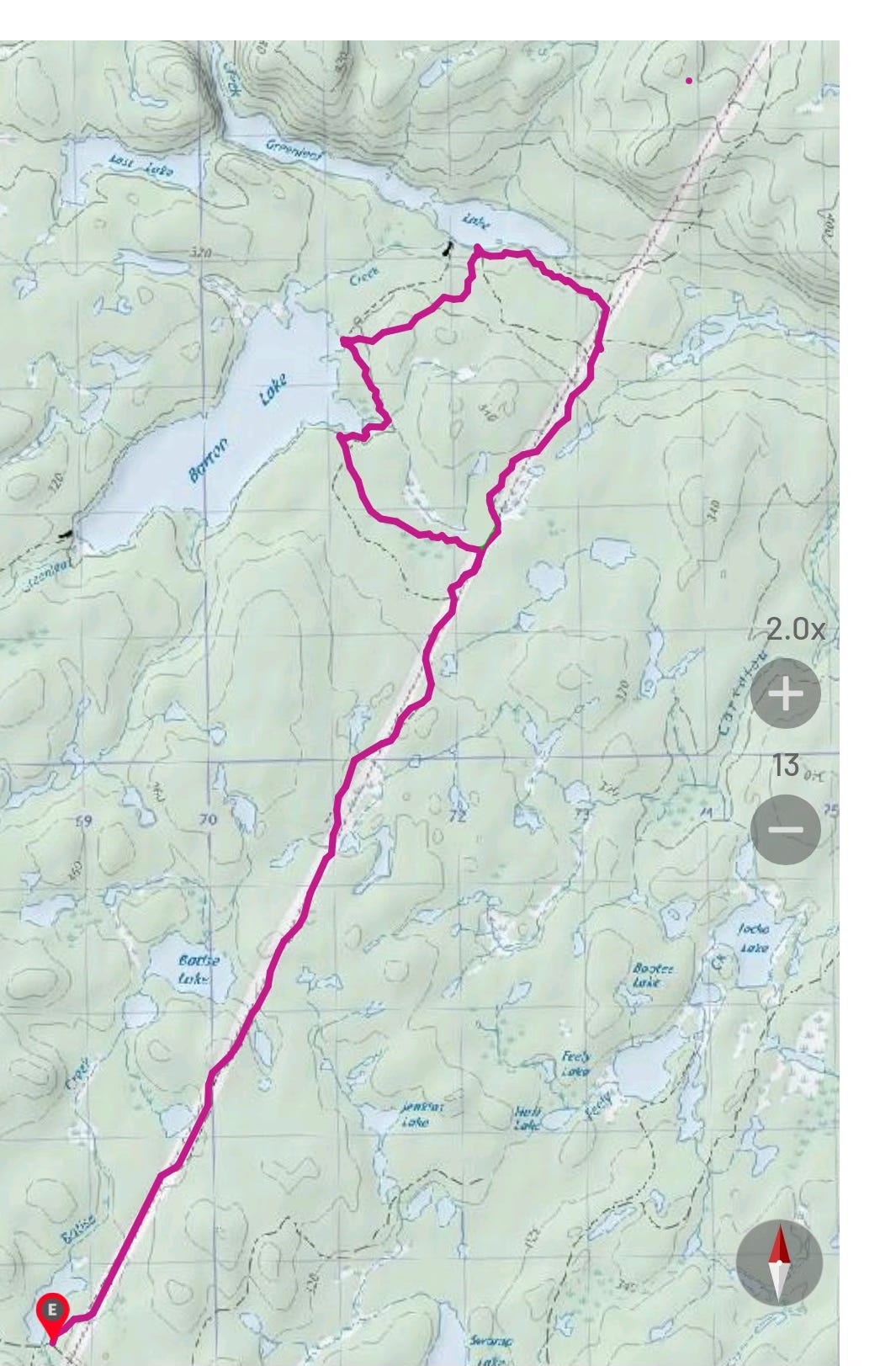
Our route — 24.65 km. Note: the base map we were using to track our route is an older map which shows trails that no longer exist today.
— END —